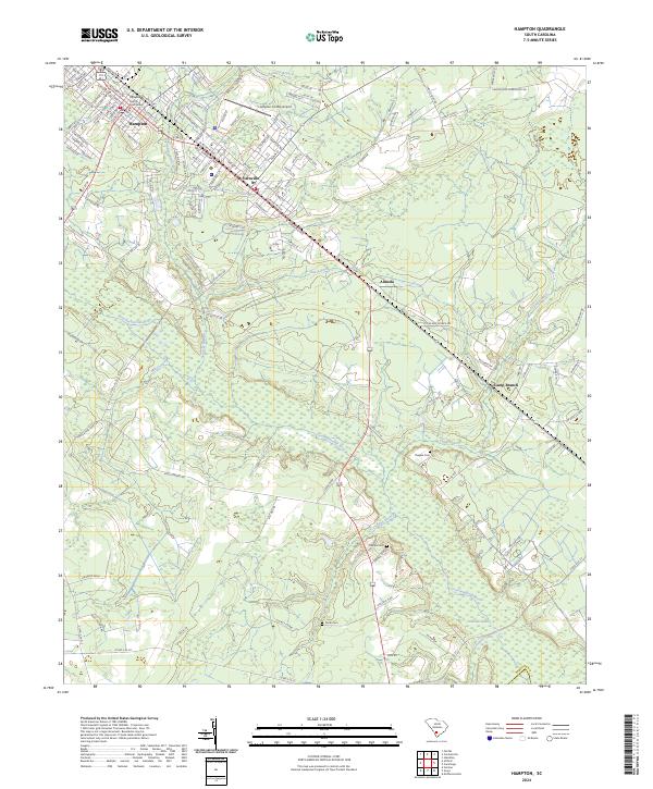
2024 Map of Hampton
USGS Topo · Published 2024About this map
The Hampton County Courthouse serves as the focal point of this South Carolina Lowcountry landscape, anchoring a regional corridor that connects the sister towns of Hampton and Varnville. This modern survey illustrates the proximity between the seat of government and the local aviation hub at the Hampton County Airport, while maintaining a clear view of the surrounding rural settlements like Almeda and Camp Branch.
Find a feature on this map
136 named features on this map. Tap any name to fly to it.
Don’t see what you’re looking for? This feature index may not catch every label — zoom into the map to look around manually.
Map Details
Editions of this 2024 Hampton Map
This is the sole edition of this map. No revisions or reprints were ever made.
Other maps of this area

1918 · Varnville
USGS Topo · 1:62,500

1918 · Yemassee
USGS Topo · 1:62,500

1919 · Pineland
USGS Topo · 1:62,500

1919 · Cummings
USGS Topo · 1:62,500

1943 · Pineland
USGS Topo · 1:62,500

1943 · Yemassee
USGS Topo · 1:62,500

1943 · Cummings
USGS Topo · 1:62,500

1944 · Varnville
USGS Topo · 1:62,500

1947 · Savannah
USGS Topo · 1:250,000

1948 · Savannah
USGS Topo · 1:250,000