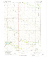
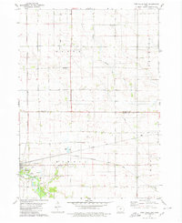
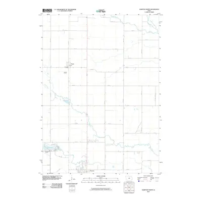
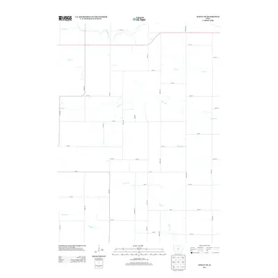
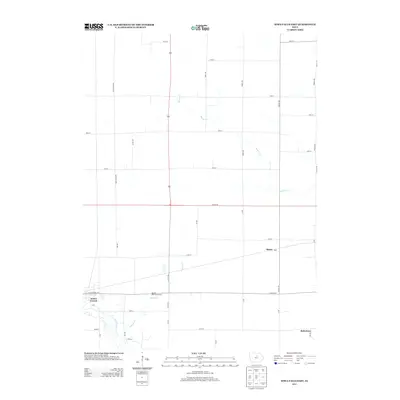
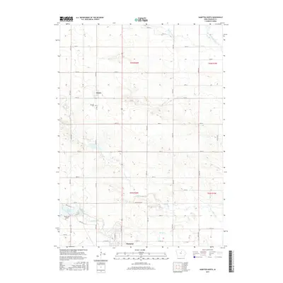
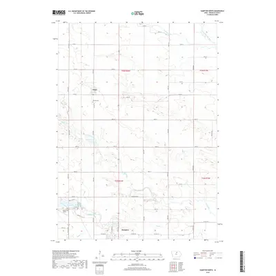
1972 Map of Hampton North
USGS Topo · Published 1975About this map
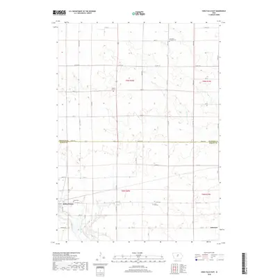
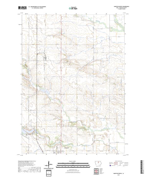
The railroad town of Chapin sits at the intersection of two major rail lines, the Chicago Rock Island and Pacific and the Chicago and North Western, illustrating the vital transport networks of Franklin County in the early 1970s. The landscape is defined by the winding courses of Otter Creek and the West Fork Cedar River, which feed into local recreational and conservation areas. One of the map's most prominent features is Beeds Lake State Park, which includes a State Fish Hatchery and the Beeds Lake Landing Field nearby.
Find a feature on this map
28 named features on this map. Tap any name to fly to it.
Don’t see what you’re looking for? This feature index may not catch every label — zoom into the map to look around manually.
Map Details
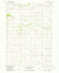
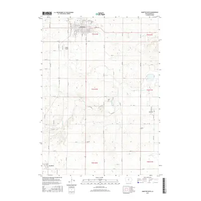
Editions of this 1972 Hampton North Map
This is the sole edition of this map. No revisions or reprints were ever made.
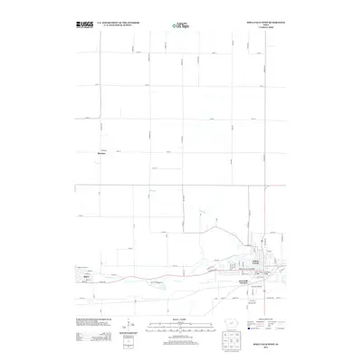
Historical Maps of Hampton Through Time
36 maps found
1972 Hampton North
Franklin County, IA
1979 Ackley NE
Franklin County, IA
1979 Dows East
Franklin County, IA
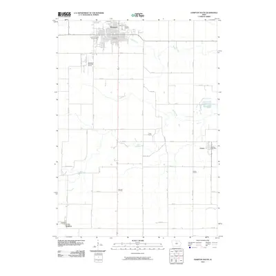
1979 Hampton South
Franklin County, IA
1979 Iowa Falls East
Franklin County, IA
1979 Iowa Falls West
Franklin County, IA
2010 Ackley NE
Franklin County, IA
2010 Dows East
Franklin County, IA
2010 Hampton North
Franklin County, IA
2010 Hampton South
Franklin County, IA
2010 Iowa Falls East
Franklin County, IA
2010 Iowa Falls West
Franklin County, IA
2013 Ackley NE
Franklin County, IA
2013 Dows East
Franklin County, IA
2013 Hampton North
Franklin County, IA
2013 Hampton South
Franklin County, IA
2013 Iowa Falls East
Franklin County, IA
2013 Iowa Falls West
Franklin County, IA
2015 Ackley NE
Franklin County, IA
2015 Dows East
Franklin County, IA
2015 Hampton North
Franklin County, IA
2015 Hampton South
Franklin County, IA
2015 Iowa Falls East
Franklin County, IA
2015 Iowa Falls West
Franklin County, IA
2018 Ackley NE
Franklin County, IA
2018 Dows East
Franklin County, IA
2018 Hampton North
Franklin County, IA
2018 Hampton South
Franklin County, IA
2018 Iowa Falls East
Franklin County, IA
2018 Iowa Falls West
Franklin County, IA
2022 Dows East
Franklin County, IA
2022 Iowa Falls East
Franklin County, IA
2022 Iowa Falls West
Franklin County, IA
2023 Ackley NE
Franklin County, IA
2023 Hampton North
Franklin County, IA
2023 Hampton South
Franklin County, IA