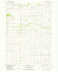
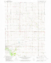
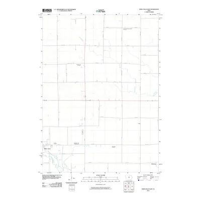
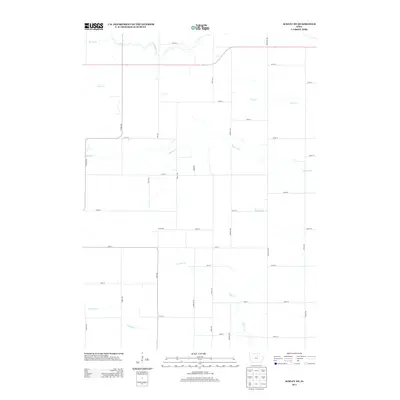
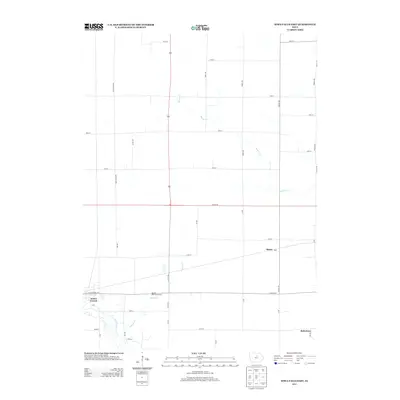
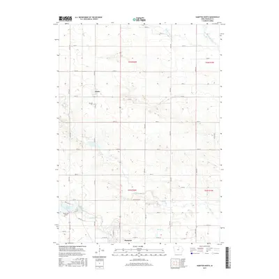
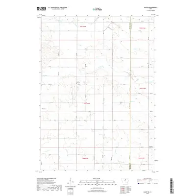
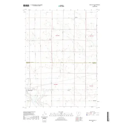
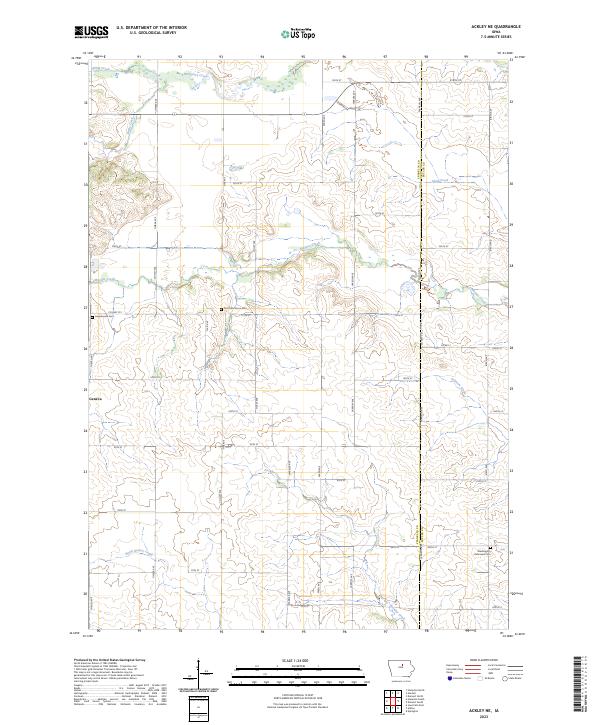
1979 Map of Ackley NE
USGS Topo · Published 1980About this map
Pittsford anchors the northern boundary of this Franklin County landscape, situated just east of the Handorf Roadside Park. The region is defined by a dense network of watercourses, including Otter Creek, Maynes Creek, and Fockler Creek, which carve through the agricultural townships of Geneva, Ingham, and Madison. In the south, the Chicago and North Western railroad cuts a diagonal path across the terrain near the Townhall settlement.
Find a feature on this map
25 named features on this map. Tap any name to fly to it.
Don’t see what you’re looking for? This feature index may not catch every label — zoom into the map to look around manually.
Map Details
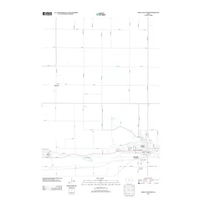
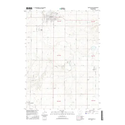
Editions of this 1979 Ackley NE Map
This is the sole edition of this map. No revisions or reprints were ever made.
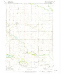
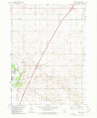
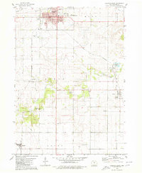
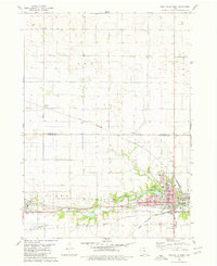
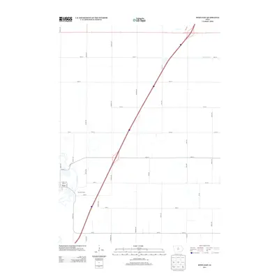
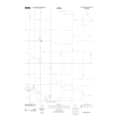
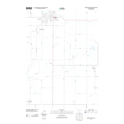
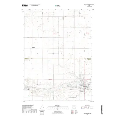
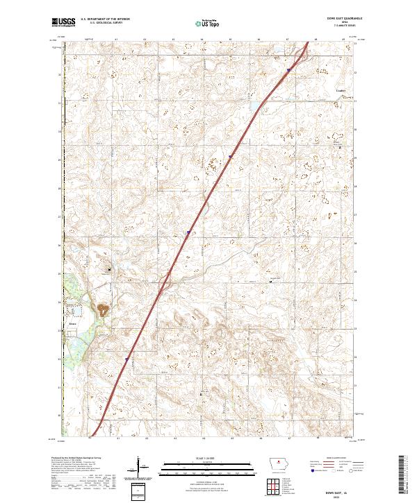
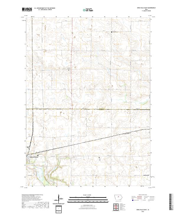
Historical Maps of Geneva Through Time
36 maps found
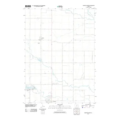
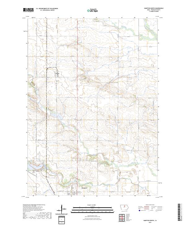
1972 Hampton North
Franklin County, IA
1979 Ackley NE
Franklin County, IA
1979 Dows East
Franklin County, IA
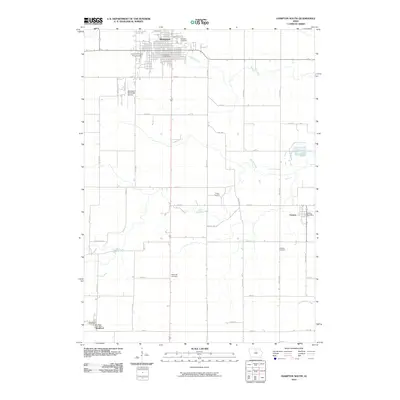
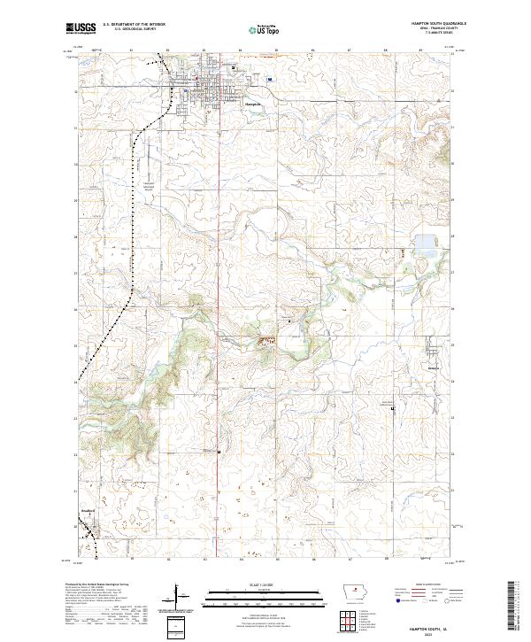
1979 Hampton South
Franklin County, IA
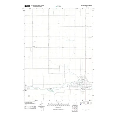
1979 Iowa Falls East
Franklin County, IA
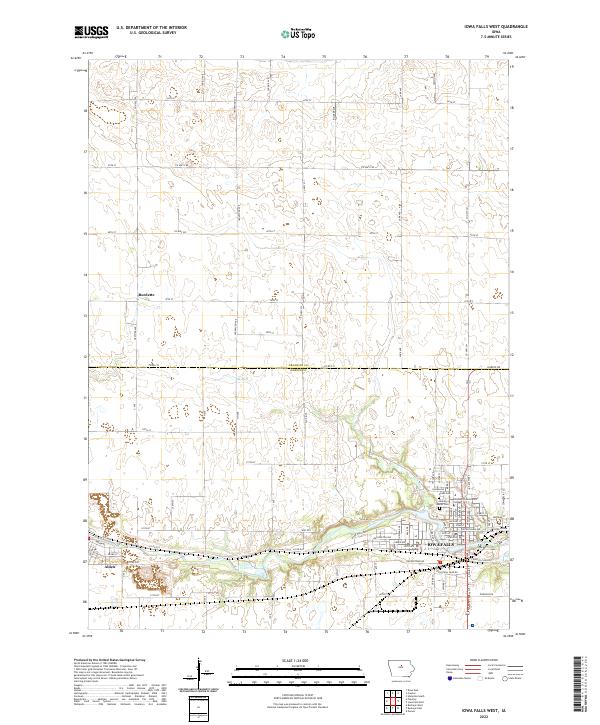
1979 Iowa Falls West
Franklin County, IA
2010 Ackley NE
Franklin County, IA
2010 Dows East
Franklin County, IA
2010 Hampton North
Franklin County, IA
2010 Hampton South
Franklin County, IA
2010 Iowa Falls East
Franklin County, IA
2010 Iowa Falls West
Franklin County, IA
2013 Ackley NE
Franklin County, IA
2013 Dows East
Franklin County, IA
2013 Hampton North
Franklin County, IA
2013 Hampton South
Franklin County, IA
2013 Iowa Falls East
Franklin County, IA
2013 Iowa Falls West
Franklin County, IA
2015 Ackley NE
Franklin County, IA
2015 Dows East
Franklin County, IA
2015 Hampton North
Franklin County, IA
2015 Hampton South
Franklin County, IA
2015 Iowa Falls East
Franklin County, IA
2015 Iowa Falls West
Franklin County, IA
2018 Ackley NE
Franklin County, IA
2018 Dows East
Franklin County, IA
2018 Hampton North
Franklin County, IA
2018 Hampton South
Franklin County, IA
2018 Iowa Falls East
Franklin County, IA
2018 Iowa Falls West
Franklin County, IA
2022 Dows East
Franklin County, IA
2022 Iowa Falls East
Franklin County, IA
2022 Iowa Falls West
Franklin County, IA
2023 Ackley NE
Franklin County, IA
2023 Hampton North
Franklin County, IA
2023 Hampton South
Franklin County, IA