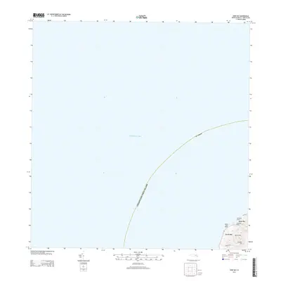
2013 Map of Hams Bay
USGS Topo · Published 2013About this map
The northwestern coast of Saint Croix meets the Caribbean Sea in this 2013 topographic study. The landscape is defined by its sharp elevation changes, where the shoreline at Monks Bath Beach and Hams Bay quickly gives way to the interior heights of Prospect Hill and the deep Caledonia Valley. While much of the quadrangle is open water, the terrestrial portion reveals a concentrated settlement pattern in North Side, connected to the interior via Prospect Hill Rd. This map captures the coastal geography near Littlebay Point, documenting the boundary of the United States Virgin Islands St. Croix as it appeared in the early 21st century. The sparse road network and named valley and hill features indicate a rugged coastal environment with limited inland development.
Find a feature on this map
10 named features on this map. Tap any name to fly to it.
Don’t see what you’re looking for? This feature index may not catch every label — zoom into the map to look around manually.
Map Details
Editions of this 2013 Hams Bay Map
This is the sole edition of this map. No revisions or reprints were ever made.
Other maps of this area
1958 · Frederiksted
USGS Topo · 1:24,000
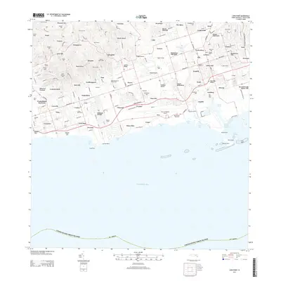
2013 · Long Point
USGS Topo · 1:20,000
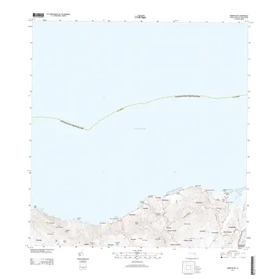
2013 · Baron Bluff
USGS Topo · 1:20,000
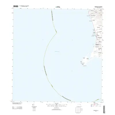
2013 · Frederiksted
USGS Topo · 1:20,000
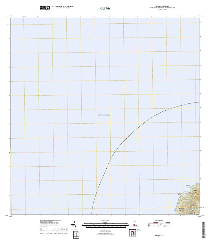
2024 · Hams Bay
USGS Topo · 1:20,000
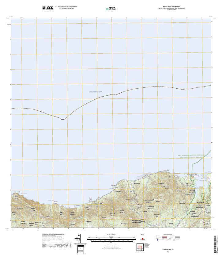
2024 · Baron Bluff
USGS Topo · 1:20,000
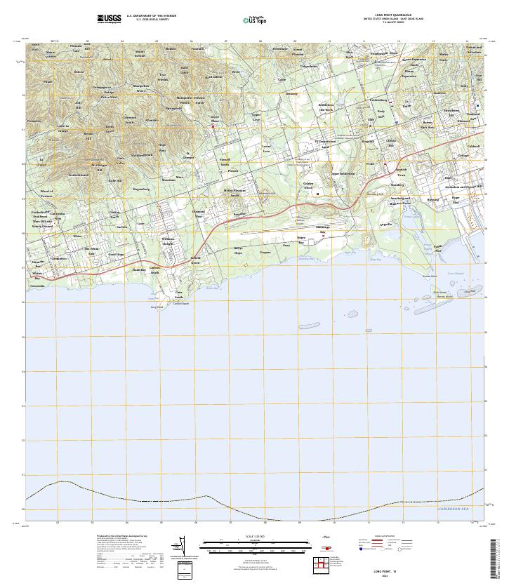
2024 · Long Point
USGS Topo · 1:20,000
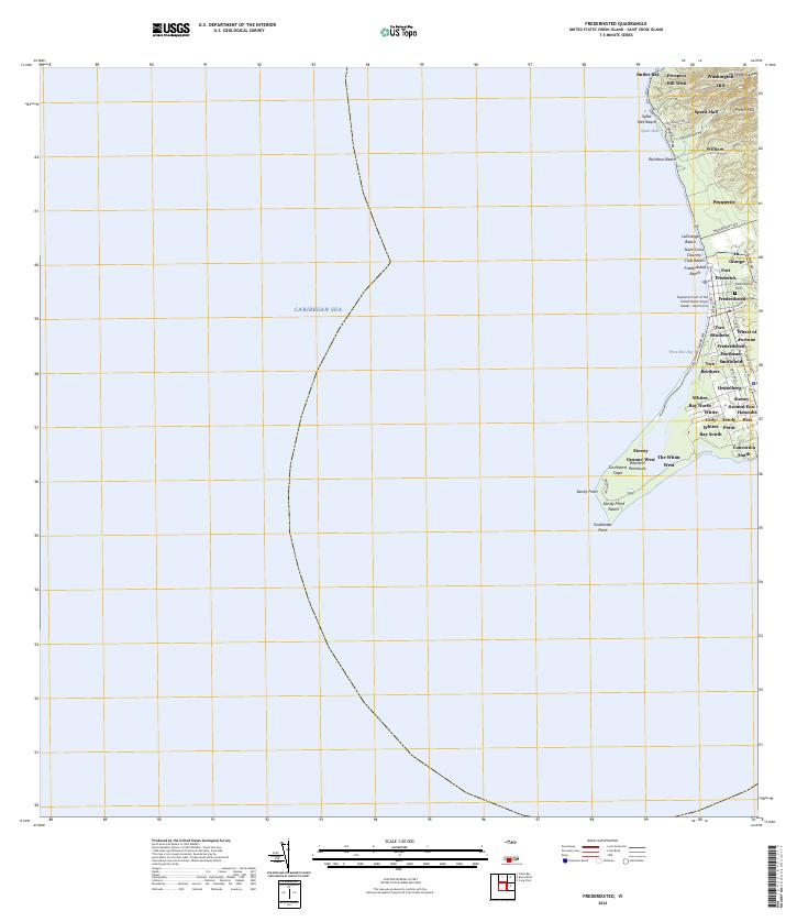
2024 · Frederiksted
USGS Topo · 1:20,000
Featured Places
- Hams Bay, Saint Croix District
- Northside, Saint Croix District
- United States Virgin Islands
- Saint Croix District