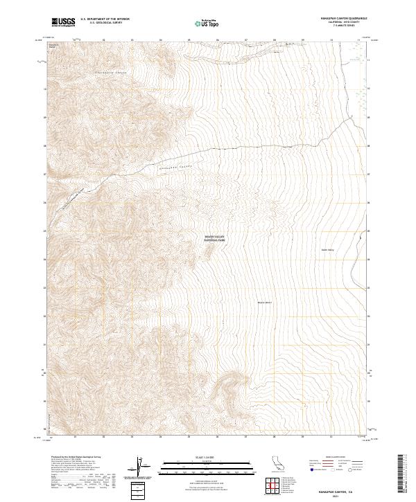
2021 Map of Hanaupah Canyon
USGS Topo · Published 2021About this map
The Panamint Range dominates the western half of this terrain, dropping precipitously into the low-lying expanse of Death Valley to the east. Located within the heart of Death Valley National Park, the map illustrates a complex drainage system where steep-walled corridors like Hanaupah Canyon and the South Fork Hanaupah Canyon emerge from the mountains. These canyons serve as primary conduits for seasonal runoff and sediment transport toward the valley floor. Near the northeastern corner, Tule Spring provides a rare point of moisture at the base of the mountains. The landscape is also defined by other deep incisions including Chuckwalla Canyon and Starvation Canyon, which highlight the extreme vertical relief between the high peaks and the sunken floor of the Mojave Desert.
Find a feature on this map
19 named features on this map. Tap any name to fly to it.
Don’t see what you’re looking for? This feature index may not catch every label — zoom into the map to look around manually.
Map Details
Editions of this 2021 Hanaupah Canyon Map
This is the sole edition of this map. No revisions or reprints were ever made.
Other maps of this area

1908 · Furnace Creek
USGS Topo · 1:250,000

1908 · Ballarat
USGS Topo · 1:250,000

1910 · Furnace Creek
USGS Topo · 1:250,000

1913 · Ballarat
USGS Topo · 1:250,000

1948 · Death Valley
USGS Topo · 1:250,000

1952 · Furnace Creek
USGS Topo · 1:62,500

1952 · Bennetts Well
USGS Topo · 1:62,500

1952 · Telescope Peak
USGS Topo · 1:62,500

1952 · Emigrant Canyon
USGS Topo · 1:62,500

1954 · Death Valley
USGS Topo · 1:250,000