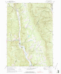
1970 Map of Hancock
USGS Topo · Published 1992About this map
The White River valley carves a central path through this Vermont landscape, anchoring the settlements of Granville, Lower Granville, and Hancock. Photogrammetric methods from the 1960s reveal a region defined by high ridgelines and narrow creek bottoms, where the Northfield Mountains and Braintree Mountain dominate the eastern and western horizons. The map documents a rural network of social and historical landmarks, including the Upper Branch Sch and three distinct burial grounds: North Hollow Cem, Elmwood Cem, and South Hollow Cem.
Find a feature on this map
52 named features on this map. Tap any name to fly to it.
Don’t see what you’re looking for? This feature index may not catch every label — zoom into the map to look around manually.
Map Details
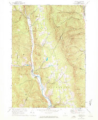
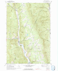
Editions of this 1970 Hancock Map
3 editions found
Other maps of this area

1915 · Rochester
USGS Topo · 1:62,500

1917 · Rochester
USGS Topo · 1:62,500

1919 · Royalton
USGS Topo · 1:62,500

1919 · Lincoln Mountain
USGS Topo · 1:62,500

1920 · Lincoln Mountain
USGS Topo · 1:48,000

1921 · Lincoln Mountain
USGS Topo · 1:62,500

1922 · Barre
USGS Topo · 1:48,000

1924 · Barre
USGS Topo · 1:62,500

1924 · Randolph
USGS Topo · 1:48,000

1926 · Randolph
USGS Topo · 1:62,500