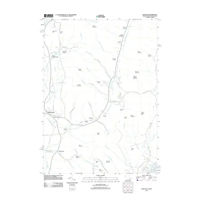
2012 Map of Hancock
USGS Topo · Published 2012About this map
Hancock and the neighboring community of Stephentown define this pocket of the Taconic Range along the Massachusetts and New York border. The landscape is marked by steep ridges and narrow hollows, including Doty Hollow and Goodrich Hollow, which historically dictated the paths of transit and settlement. Key transport corridors follow the winding course of Kinderhook Creek, connecting local landmarks such as the Hancock Post Office and Saint Josephs Cemetery.
Find a feature on this map
80 named features on this map. Tap any name to fly to it.
Don’t see what you’re looking for? This feature index may not catch every label — zoom into the map to look around manually.
Map Details
Editions of this 2012 Hancock Map
2 editions found
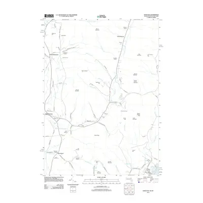
Other maps of this area

1886 · Greylock
USGS Topo · 1:62,500

1886 · Becket
USGS Topo · 1:62,500

1888 · Becket
USGS Topo · 1:62,500

1888 · Berlin
USGS Topo · 1:62,500

1888 · Pittsfield
USGS Topo · 1:62,500

1890 · Pittsfield
USGS Topo · 1:62,500

1890 · Berlin
USGS Topo · 1:62,500

1891 · Greylock
USGS Topo · 1:62,500

1893 · Becket
USGS Topo · 1:62,500

1893 · Greylock
USGS Topo · 1:62,500