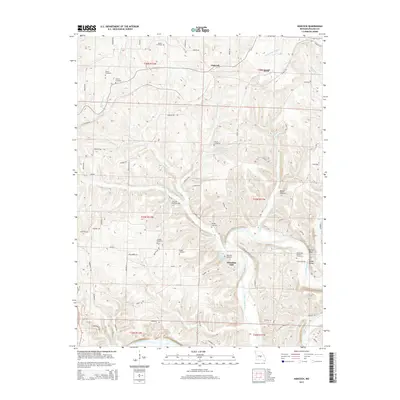
2015 Map of Hancock
USGS Topo · Published 2015About this map
Wheelers Mill and the meandering Gasconade River dominate this Pulaski County landscape, where the river's high bluffs and deep bends shaped local settlement patterns. The small communities of Hancock and Helm sit in the northern reaches, while the river valley to the south is dotted with family landmarks and water features like Wheeler Spring and Wheeler Lake. This 2015 survey reveals a terrain defined by limestone topography, evidenced by Mitchell Spring and the steep elevation of Yellow Bluff.
Find a feature on this map
75 named features on this map. Tap any name to fly to it.
Don’t see what you’re looking for? This feature index may not catch every label — zoom into the map to look around manually.
Map Details
Editions of this 2015 Hancock Map
This is the sole edition of this map. No revisions or reprints were ever made.
Other maps of this area

1888 · Tuscumbia
USGS Topo · 1:125,000

1894 · Tuscumbia
USGS Topo · 1:125,000

1933 · Iberia
USGS Topo · 1:62,500

1936 · Waynesville
USGS Topo · 1:48,000

1937 · Iberia
USGS Topo · 1:62,500

1942 · Waynesville
USGS Topo · 1:62,500

1943 · Richland
USGS Topo · 1:62,500

1944 · Waynesville
USGS Topo · 1:62,500

1947 · Jefferson City
USGS Topo · 1:250,000

1948 · Tavern
USGS Topo · 1:62,500