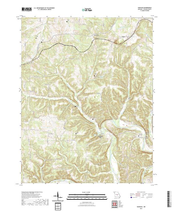
2021 Map of Hancock
USGS Topo · Published 2021About this map
The Gasconade River winds through the southeastern corner of this Pulaski County landscape, passing the distinctive Yellow Bluff and the river crossing at Riddle Bridge. The settlement of Hancock serves as a central hub, connected to the surrounding countryside by a network of secondary routes like N Commercial St and State Hwy HH. The map reveals a dense distribution of family and community burial grounds, including the Teeple Cem, Sewell Cem, and Antioch Cem, which point to the long-established rural lineages of the area.
Find a feature on this map
82 named features on this map. Tap any name to fly to it.
Don’t see what you’re looking for? This feature index may not catch every label — zoom into the map to look around manually.
Map Details
Editions of this 2021 Hancock Map
This is the sole edition of this map. No revisions or reprints were ever made.
Other maps of this area

1888 · Tuscumbia
USGS Topo · 1:125,000

1894 · Tuscumbia
USGS Topo · 1:125,000

1933 · Iberia
USGS Topo · 1:62,500

1936 · Waynesville
USGS Topo · 1:48,000

1937 · Iberia
USGS Topo · 1:62,500

1942 · Waynesville
USGS Topo · 1:62,500

1943 · Richland
USGS Topo · 1:62,500

1944 · Waynesville
USGS Topo · 1:62,500

1947 · Jefferson City
USGS Topo · 1:250,000

1948 · Tavern
USGS Topo · 1:62,500