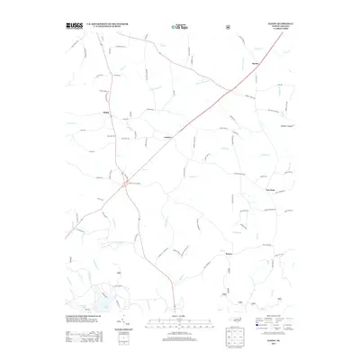
2013 Map of Handy
USGS Topo · Published 2013About this map
The Piedmont Upland landscape of Davidson County is characterized by a network of rural settlements and winding tributaries that define the local topography. At the center of this area, Handy sits at a prominent crossroads, while other localized hubs like Complex, Martha, and New Hope anchor the surrounding countryside. The map reveals a dense web of family-named roads and thoroughfares, such as Klopman Mill Rd and Piedmont School Rd, suggesting the historical importance of local industry and education to these small communities. In the southwest corner, the shoreline of Badin Lake introduces a significant aquatic feature, where the waters of Beaverdam Creek and Alls Fork converge. The intricate drainage patterns of Toms Creek and Cabin Creek further illustrate the rolling nature of this North Carolina terrain as it appeared in the early 21st century.
Find a feature on this map
94 named features on this map. Tap any name to fly to it.
Don’t see what you’re looking for? This feature index may not catch every label — zoom into the map to look around manually.
Map Details
Editions of this 2013 Handy Map
This is the sole edition of this map. No revisions or reprints were ever made.
Other maps of this area

1942 · Troy
USGS Topo · 1:125,000

1949 · High Rock
USGS Topo · 1:24,000

1949 · Denton NW
USGS Topo · 1:24,000

1953 · Raleigh
USGS Topo · 1:250,000

1953 · Charlotte
USGS Topo · 1:250,000

1954 · Charlotte
USGS Topo · 1:250,000

1954 · Raleigh
USGS Topo · 1:250,000

1957 · Albemarle
USGS Topo · 1:62,500

1957 · Denton
USGS Topo · 1:62,500

1957 · Troy
USGS Topo · 1:62,500