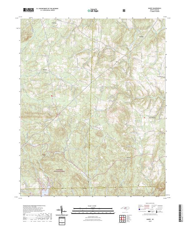
2022 Map of Handy
USGS Topo · Published 2022About this map
Uwharrie National Forest dominates the southern landscape of this region, where the hills of the Piedmont Upland meet the northern reaches of Badin Lake. This area at the intersection of Davidson, Randolph, and Montgomery counties is defined by a network of small watercourses like Grassy Fork, Cabin Cr, and Laniers Cr that drain through heavily wooded terrain.
Find a feature on this map
95 named features on this map. Tap any name to fly to it.
Don’t see what you’re looking for? This feature index may not catch every label — zoom into the map to look around manually.
Map Details
Editions of this 2022 Handy Map
This is the sole edition of this map. No revisions or reprints were ever made.
Other maps of this area

1942 · Troy
USGS Topo · 1:125,000

1949 · High Rock
USGS Topo · 1:24,000

1949 · Denton NW
USGS Topo · 1:24,000

1953 · Raleigh
USGS Topo · 1:250,000

1953 · Charlotte
USGS Topo · 1:250,000

1954 · Charlotte
USGS Topo · 1:250,000

1954 · Raleigh
USGS Topo · 1:250,000

1957 · Albemarle
USGS Topo · 1:62,500

1957 · Denton
USGS Topo · 1:62,500

1957 · Troy
USGS Topo · 1:62,500