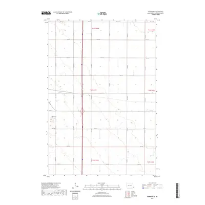
2020 Map of Hankinson SE
USGS Topo · Published 2020About this map
Devils Nest anchors the western edge of this Richland County landscape, where the terrain breaks into more varied elevation amid the surrounding agricultural grid. The area is defined by a rigorous network of section lines and county roads, including Co Rd 15 and Co Rd 21 E, which facilitate movement through the township blocks of T130N R49W and its neighbors. Small wetlands and depressions are scattered throughout the sections, particularly along the eastern boundary of 174th Ave Se. This map captures the region in 2020, showing a rural environment where land use remains strictly divided by the Public Land Survey System. The transition from the flatter plains in the east toward the more textured land around Devils Nest illustrates the subtle but distinct geological shifts in this part of North Dakota.
Find a feature on this map
25 named features on this map. Tap any name to fly to it.
Don’t see what you’re looking for? This feature index may not catch every label — zoom into the map to look around manually.
Map Details
Editions of this 2020 Hankinson SE Map
This is the sole edition of this map. No revisions or reprints were ever made.
Other maps of this area

1904 · Wahpeton
USGS Topo · 1:125,000

1915 · White Rock
USGS Topo · 1:62,500

1917 · New Effington
USGS Topo · 1:62,500

1918 · White Rock
USGS Topo · 1:62,500

1953 · Milbank
USGS Topo · 1:250,000

1953 · Fargo
USGS Topo · 1:250,000

1956 · Fargo
USGS Topo · 1:250,000

1958 · Milbank
USGS Topo · 1:250,000

1964 · Hankinson
USGS Topo · 1:24,000

1964 · Fairmount NW
USGS Topo · 1:24,000