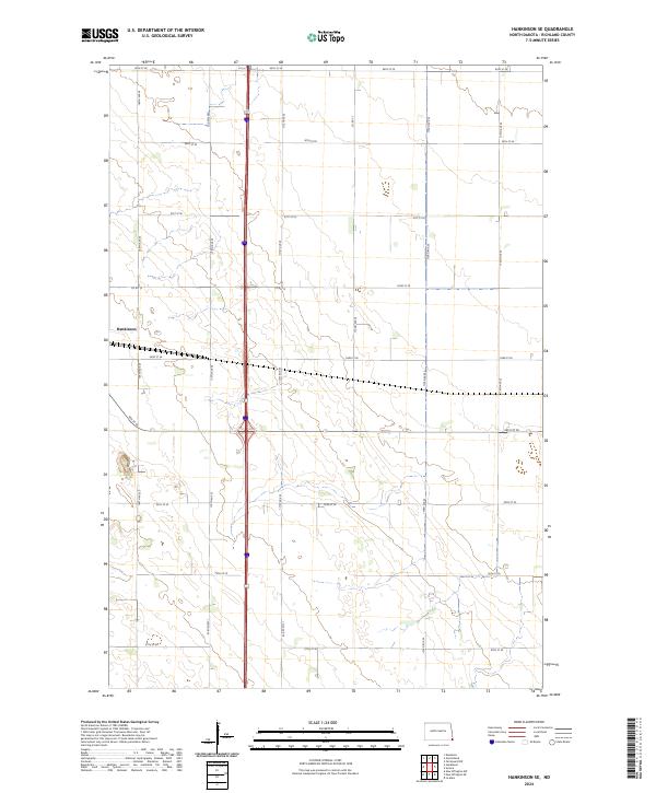
2024 Map of Hankinson SE
USGS Topo · Published 2024About this map
Hankinson anchors the western edge of this prairie landscape in Richland County, where the agricultural grid of southeastern North Dakota is defined by a precise network of section lines. The map reveals the intersection of major north-south transport corridors with local rural routes like Co Rd 15 and 93rd St SE. This survey reflects a modern view of the plains, showing the persistent 19th-century land divisions of t130n r49w and t131n r49w alongside 21st-century infrastructure. Small wetlands and depressions are scattered across the terrain, indicating the glacial heritage of the Red River Valley region. These features, often bypassed by the straight runs of 171st Ave SE and other county roads, provide a glimpse into the natural drainage patterns that shaped local farm placement and historical land use.
Find a feature on this map
24 named features on this map. Tap any name to fly to it.
Don’t see what you’re looking for? This feature index may not catch every label — zoom into the map to look around manually.
Map Details
Editions of this 2024 Hankinson SE Map
This is the sole edition of this map. No revisions or reprints were ever made.
Other maps of this area

1904 · Wahpeton
USGS Topo · 1:125,000

1915 · White Rock
USGS Topo · 1:62,500

1917 · New Effington
USGS Topo · 1:62,500

1918 · White Rock
USGS Topo · 1:62,500

1953 · Milbank
USGS Topo · 1:250,000

1953 · Fargo
USGS Topo · 1:250,000

1956 · Fargo
USGS Topo · 1:250,000

1958 · Milbank
USGS Topo · 1:250,000

1964 · Hankinson
USGS Topo · 1:24,000

1964 · Fairmount NW
USGS Topo · 1:24,000