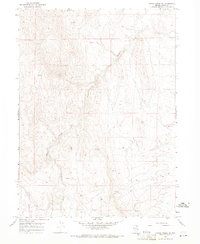
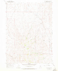
1967 Map of Hanks Creek NE
USGS Topo · Published 1971About this map
Hanks Creek and its southern tributaries dominate this high-desert terrain in northeastern Nevada during the late 1960s. The landscape is defined by a network of drainage systems, including the South Fork Hanks Creek and Conners Creek, which flow through the undulating topography. Water sources are scarce, marked primarily by isolated Spring labels that indicate vital points in an otherwise arid environment. Human presence is minimal, represented largely by a single Jeep Trail winding through the northern portion of the quadrangle. This 1967 survey provides a clear view of the undeveloped ranching and grazing lands of Elko County before significant modern infrastructure altered the area, preserving the original drainage patterns and cattle-country access routes used during this era.
Find a feature on this map
5 named features on this map. Tap any name to fly to it.
Don’t see what you’re looking for? This feature index may not catch every label — zoom into the map to look around manually.
Map Details
Editions of this 1967 Hanks Creek NE Map
This is the sole edition of this map. No revisions or reprints were ever made.
Other maps of this area

1955 · Wells
USGS Topo · 1:250,000

1958 · Wells
USGS Topo · 1:250,000

1961 · Wells
USGS Topo · 1:250,000
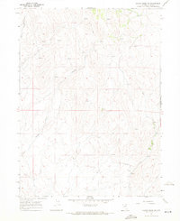
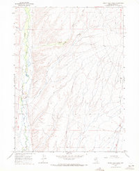
1967 · Hanks Creek SW
USGS Topo · 1:24,000
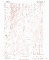
1967 · Black Butte SW
USGS Topo · 1:24,000
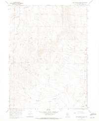
1967 · Hot Springs Creek
USGS Topo · 1:24,000
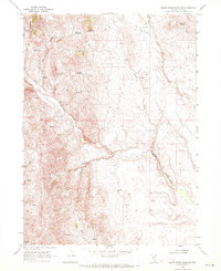
1967 · Stag Mountain
USGS Topo · 1:24,000
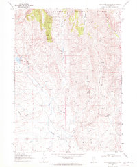
1967 · Buena Vista Ranch
USGS Topo · 1:24,000
1968 · Charleston Reservoir
USGS Topo · 1:24,000
1968 · Marys River Basin SE
USGS Topo · 1:24,000