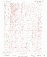
1967 Map of Black Butte SW
USGS Topo · Published 1971About this map
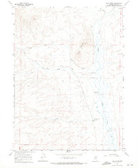
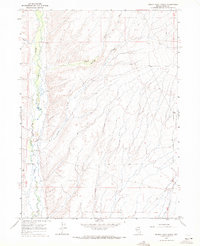
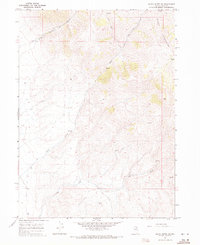
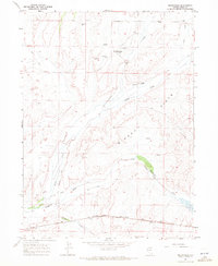
Mala Vista Ranch and its associated Landing Area anchor the western edge of this High Desert landscape, which was field-checked by the Geological Survey in the late 1960s. The terrain is defined by the winding course of the Marys River and the braided drainage of Tabor Creek, which cuts through the basin alongside several scattered Springs. These water sources were vital for local ranching operations in this part of Elko County, providing the necessary lifeblood for livestock in a semi-arid environment. Human movement through the area is primarily represented by a rugged Jeep Trail, illustrating the remote nature of the territory. Small-scale industrial activity is evidenced by a Gravel Pit located near the basin floor, likely used for maintaining local ranch roads or section lines.
Find a feature on this map
9 named features on this map. Tap any name to fly to it.
Don’t see what you’re looking for? This feature index may not catch every label — zoom into the map to look around manually.
Map Details
Editions of this 1967 Black Butte SW Map
2 editions found
Other maps of this area

1955 · Wells
USGS Topo · 1:250,000

1958 · Wells
USGS Topo · 1:250,000

1961 · Wells
USGS Topo · 1:250,000
1967 · Black Butte
USGS Topo · 1:24,000
1967 · Hot Springs Creek
USGS Topo · 1:24,000
1967 · Twin Buttes
USGS Topo · 1:24,000
1967 · Buena Vista Ranch
USGS Topo · 1:24,000
1967 · Black Butte NE
USGS Topo · 1:24,000
1967 · Hanks Creek NE
USGS Topo · 1:24,000
1967 · Metropolis
USGS Topo · 1:24,000