
1967 Map of Metropolis
USGS Topo · Published 1972About this map
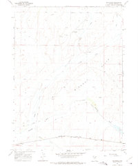
Metropolis stands as a testament to early 20th-century agricultural ambition in Elko County, appearing here as both a focal settlement and a designated Metropolis (Site) by 1967. The landscape reflects a transition from a planned farming community to a more dispersed ranching character, evidenced by the presence of Knudson Ranch and the Metropolis Cem. This geography is defined by the drainage of Bishop Creek as it moves toward the Humboldt River and the broad expanses of Bishop Flats.
Find a feature on this map
24 named features on this map. Tap any name to fly to it.
Don’t see what you’re looking for? This feature index may not catch every label — zoom into the map to look around manually.
Map Details
Editions of this 1967 Metropolis Map
2 editions found
Other maps of this area

1955 · Wells
USGS Topo · 1:250,000

1958 · Wells
USGS Topo · 1:250,000

1961 · Wells
USGS Topo · 1:250,000

1967 · Black Butte SW
USGS Topo · 1:24,000

1967 · Black Butte
USGS Topo · 1:24,000

1967 · Welcome
USGS Topo · 1:24,000

1967 · Herder Creek
USGS Topo · 1:24,000
1967 · Tabor Flats
USGS Topo · 1:24,000

1968 · Wells
USGS Topo · 1:24,000

1968 · Summer Camp
USGS Topo · 1:24,000