
1967 Map of Black Butte
USGS Topo · Published 1971About this map
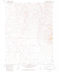
Black Butte dominates this northern Nevada landscape, a prominent volcanic landmark in an area defined by high-desert hydrology and seasonal water sources. Surveyed in the late 1960s, the terrain shows a network of remote Jeep Trail paths that crisscross the sagebrush country, connecting ephemeral drainages like Burnt Creek and Pole Creek. These routes provided essential access for ranching and mineral exploration in a region where water is the most critical resource.
Find a feature on this map
9 named features on this map. Tap any name to fly to it.
Don’t see what you’re looking for? This feature index may not catch every label — zoom into the map to look around manually.
Map Details
Editions of this 1967 Black Butte Map
3 editions found
Other maps of this area

1955 · Wells
USGS Topo · 1:250,000

1958 · Wells
USGS Topo · 1:250,000

1961 · Wells
USGS Topo · 1:250,000

1967 · Black Butte SW
USGS Topo · 1:24,000

1967 · Buena Vista Ranch
USGS Topo · 1:24,000

1967 · Black Butte NE
USGS Topo · 1:24,000

1967 · Metropolis
USGS Topo · 1:24,000
1967 · Tabor Flats
USGS Topo · 1:24,000

1968 · Summer Camp
USGS Topo · 1:24,000
1968 · Oxley Peak
USGS Topo · 1:24,000