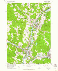
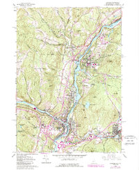
1959 Map of Hanover
USGS Topo · Published 1961About this map
Dartmouth College anchors the east bank of the Connecticut River in this late-1950s survey of the Upper Valley. The map documents a significant transport and institutional hub where the Boston and Maine and Central Vermont railroads converge near White River Junction. While Hanover and Norwich maintain their traditional collegiate and village character, the landscape shows emerging mid-century infrastructure, including the VA Hospital, a Drive-in Theater south of town, and the Lebanon Regional Airport.
Find a feature on this map
107 named features on this map. Tap any name to fly to it.
Don’t see what you’re looking for? This feature index may not catch every label — zoom into the map to look around manually.
Map Details
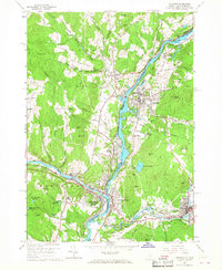
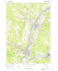
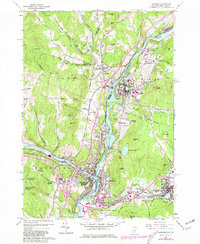
Editions of this 1959 Hanover Map
5 editions found
Other maps of this area

1896 · Strafford
USGS Topo · 1:62,500

1906 · Hanover
USGS Topo · 1:62,500

1908 · Hanover
USGS Topo · 1:62,500

1927 · Mascoma
USGS Topo · 1:62,500

1931 · Mt. Cube
USGS Topo · 1:62,500

1932 · Mascoma
USGS Topo · 1:62,500

1933 · Mt. Cube
USGS Topo · 1:62,500

1944 · Strafford
USGS Topo · 1:62,500

1950 · Glens Falls
USGS Topo · 1:250,000

1956 · Glens Falls
USGS Topo · 1:250,000