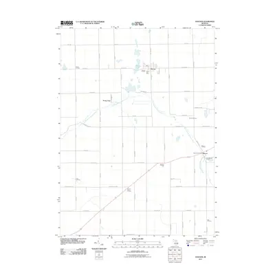
2011 Map of Hanover
USGS Topo · Published 2011About this map
Hanover and Moscow anchor this study of south-central Michigan, where the headwaters of the South Branch Kalamazoo River wind through a landscape defined by small-scale agriculture and early 21st-century rural development. The area is exceptionally dense with burial sites, reflecting generations of local family history through locations like Moscow Plains Cemetery, Pope Cemetery, and McNair Cemetery. These sites, along with landmarks such as Stoney Point and Bibbons Lake, provide a framework for genealogists to trace the settlement patterns that followed the river's path. The village centers remain concentrated around their respective services, including the Hanover Post Office and Moscow Post Office, while the surrounding township is crisscrossed by a grid of namesake roads like Milnes Rd and Mosherville Rd.
Find a feature on this map
50 named features on this map. Tap any name to fly to it.
Don’t see what you’re looking for? This feature index may not catch every label — zoom into the map to look around manually.
Map Details
Editions of this 2011 Hanover Map
This is the sole edition of this map. No revisions or reprints were ever made.
Other maps of this area

1935 · Jackson
USGS Topo · 1:48,000

1939 · Jackson
USGS Topo · 1:62,500

1948 · Spring Arbor
USGS Topo · 1:62,500

1949 · Spring Arbor
USGS Topo · 1:62,500

1953 · Fort Wayne
USGS Topo · 1:250,000

1956 · Fort Wayne
USGS Topo · 1:250,000

1958 · Grand Rapids
USGS Topo · 1:250,000

1959 · Hillsdale
USGS Topo · 1:24,000

1959 · North Adams
USGS Topo · 1:24,000

1961 · Grand Rapids
USGS Topo · 1:250,000