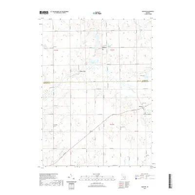
2019 Map of Hanover
USGS Topo · Published 2019About this map
Hanover and Moscow anchor this landscape along the border of Jackson and Hillsdale Counties, where the headwaters of the S Br Kalamazoo River meander through a terrain defined by glacial depressions and small lakes. The map reveals a dense network of early settlements and family burial grounds, such as the McNair Cem and Blackmar Cem, which provide significant data points for genealogical research in this part of Michigan. The area’s water system is notably intricate, with Horseshoe Lake, Rustine Lake, and Hinman Lake dotting the northern half, while various drainage features like the Mitchell Drain and Bansill Drain support the local agricultural grid. Transport centers on historical thoroughfares like E Chicago Rd, reflecting the region's long-standing connection to established Michigan transit corridors.
Find a feature on this map
65 named features on this map. Tap any name to fly to it.
Don’t see what you’re looking for? This feature index may not catch every label — zoom into the map to look around manually.
Map Details
Editions of this 2019 Hanover Map
This is the sole edition of this map. No revisions or reprints were ever made.
Other maps of this area

1935 · Jackson
USGS Topo · 1:48,000

1939 · Jackson
USGS Topo · 1:62,500

1948 · Spring Arbor
USGS Topo · 1:62,500

1949 · Spring Arbor
USGS Topo · 1:62,500

1953 · Fort Wayne
USGS Topo · 1:250,000

1956 · Fort Wayne
USGS Topo · 1:250,000

1958 · Grand Rapids
USGS Topo · 1:250,000

1959 · Hillsdale
USGS Topo · 1:24,000

1959 · North Adams
USGS Topo · 1:24,000

1961 · Grand Rapids
USGS Topo · 1:250,000