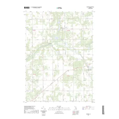
2023 Map of Hanover
USGS Topo · Published 2023About this map
Hanover and Moscow anchor this study of southern Michigan's agricultural and wetland transition, positioned along the border of Jackson and Hillsdale counties. The landscape is defined by the headwaters and drainage of the South Branch Kalamazoo River, which meanders through glacial terrain marked by numerous lakes and kettle ponds like Horseshoe Lake and Rustine Lake. For genealogists, the map is a dense record of early pioneer settlement and family history, preserving the locations of numerous burial grounds including the Old Soldier Cem and Moscow Plains Cem. The network of section-line roads, such as Snow RD and Mosherville RD, surrounds several distinct high points like Stoney Point, illustrating how early transportation followed the natural contours of the river valley.
Find a feature on this map
62 named features on this map. Tap any name to fly to it.
Don’t see what you’re looking for? This feature index may not catch every label — zoom into the map to look around manually.
Map Details
Editions of this 2023 Hanover Map
This is the sole edition of this map. No revisions or reprints were ever made.
Other maps of this area

1935 · Jackson
USGS Topo · 1:48,000

1939 · Jackson
USGS Topo · 1:62,500

1948 · Spring Arbor
USGS Topo · 1:62,500

1949 · Spring Arbor
USGS Topo · 1:62,500

1953 · Fort Wayne
USGS Topo · 1:250,000

1956 · Fort Wayne
USGS Topo · 1:250,000

1958 · Grand Rapids
USGS Topo · 1:250,000

1959 · Hillsdale
USGS Topo · 1:24,000

1959 · North Adams
USGS Topo · 1:24,000

1961 · Grand Rapids
USGS Topo · 1:250,000