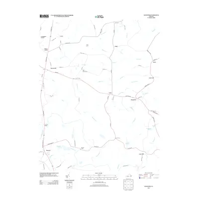
2013 Map of Hanover
USGS Topo · Published 2013About this map
Bowersville and the rural corridors of Caroline County are meticulously detailed in this early 21st-century topographic study. The landscape is defined by the winding Panunkey River along the southern border and a dense network of local roads connecting small crossroad settlements like Covingston Corner, Haleys Corner, and Mangohick. The presence of the State Prison Camp Number 2 near Herring Creek provides a notable point of institutional interest in an otherwise predominantly agrarian and wooded region.
Find a feature on this map
69 named features on this map. Tap any name to fly to it.
Don’t see what you’re looking for? This feature index may not catch every label — zoom into the map to look around manually.
Map Details
Editions of this 2013 Hanover Map
This is the sole edition of this map. No revisions or reprints were ever made.
Other maps of this area

1894 · Richmond
USGS Topo · 1:62,500

1895 · Richmond
USGS Topo · 1:62,500

1918 · Doswell
USGS Topo · 1:62,500

1918 · Aylett
USGS Topo · 1:62,500

1920 · King William
USGS Topo · 1:62,500

1933 · Aylett
USGS Topo · 1:62,500

1938 · Studley
USGS Topo · 1:31,680

1938 · Yellow Tavern
USGS Topo · 1:31,680

1943 · Richmond
USGS Topo · 1:250,000

1949 · Richmond
USGS Topo · 1:250,000