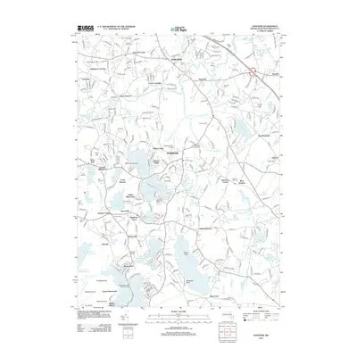
2012 Map of Hanover
USGS Topo · Published 2012About this map
Indian Head River and Third Herring Brook converge in this Plymouth County landscape, defining a region where water power once drove local industry. The legacy of these waterways is visible in the string of reservoirs and ponds, including Furnace Pond, Gorham Mill Pond, and Great Sandy Bottom Pond. The settlement pattern reflects long-established crossroads and river crossings such as Winslows Crossing, Curtis Crossing, and the uniquely named Brimstone Corner.
Find a feature on this map
276 named features on this map. Tap any name to fly to it.
Don’t see what you’re looking for? This feature index may not catch every label — zoom into the map to look around manually.
Map Details
Editions of this 2012 Hanover Map
This is the sole edition of this map. No revisions or reprints were ever made.
Other maps of this area

1885 · Abington
USGS Topo · 1:62,500

1885 · Duxbury
USGS Topo · 1:62,500

1885 · Middleboro
USGS Topo · 1:62,500

1886 · Plymouth
USGS Topo · 1:62,500

1888 · Duxbury
USGS Topo · 1:62,500

1888 · Middleboro
USGS Topo · 1:62,500

1888 · Abington
USGS Topo · 1:62,500

1889 · Plymouth
USGS Topo · 1:62,500

1893 · Abington
USGS Topo · 1:62,500

1893 · Duxbury
USGS Topo · 1:62,500