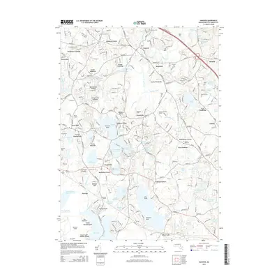
2015 Map of Hanover
USGS Topo · Published 2015About this map
The North River and its numerous tributaries, including Pudding Brook and Herring Brook, form the backbone of this coastal Massachusetts landscape near the South Shore. This 2015 survey reveals a dense network of suburban development intertwined with preserved wetlands and recreational grounds, such as Camp Wampatuck and Camp Ousamequin. Significant water bodies like Oldham Pond, Furnace Pond, and Silver Lake dominate the southern portion of the area, reflecting the region's glacial geography. The map traces the residential expansion across Hanover, Pembroke, and West Duxbury, while identifying several small historic clusters like Brimstone Corner and Gurneys Corner. Local history is well-preserved through numerous burial sites, including the Pinehurst Cem and Schoosett Cem, which stand as markers of long-established family lineages. Small-scale aviation is represented by Sherman Private Airport and Cranland Airport, serving the community alongside the busy corridors of Schoosett St and Industrial Rd.
Find a feature on this map
274 named features on this map. Tap any name to fly to it.
Don’t see what you’re looking for? This feature index may not catch every label — zoom into the map to look around manually.
Map Details
Editions of this 2015 Hanover Map
This is the sole edition of this map. No revisions or reprints were ever made.
Other maps of this area

1885 · Abington
USGS Topo · 1:62,500

1885 · Duxbury
USGS Topo · 1:62,500

1885 · Middleboro
USGS Topo · 1:62,500

1886 · Plymouth
USGS Topo · 1:62,500

1888 · Duxbury
USGS Topo · 1:62,500

1888 · Middleboro
USGS Topo · 1:62,500

1888 · Abington
USGS Topo · 1:62,500

1889 · Plymouth
USGS Topo · 1:62,500

1893 · Abington
USGS Topo · 1:62,500

1893 · Duxbury
USGS Topo · 1:62,500