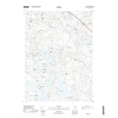
2018 Map of Hanover
USGS Topo · Published 2018About this map
Hanover, Massachusetts, is defined by its intricate network of coastal wetlands and the meandering Indian Head River. This 2018 survey documents a landscape where colonial-era settlement patterns meet modern conservation, with numerous cemeteries like Fern Hill Cem and Hanover Center Cem providing vital links for genealogists. The influence of early water-powered industry remains visible in the naming of Gorham Mill Pond and Glover Mill Pond, reflecting the historical reliance on local water bodies for manufacturing.
Find a feature on this map
283 named features on this map. Tap any name to fly to it.
Don’t see what you’re looking for? This feature index may not catch every label — zoom into the map to look around manually.
Map Details
Editions of this 2018 Hanover Map
This is the sole edition of this map. No revisions or reprints were ever made.
Other maps of this area

1885 · Abington
USGS Topo · 1:62,500

1885 · Duxbury
USGS Topo · 1:62,500

1885 · Middleboro
USGS Topo · 1:62,500

1886 · Plymouth
USGS Topo · 1:62,500

1888 · Duxbury
USGS Topo · 1:62,500

1888 · Middleboro
USGS Topo · 1:62,500

1888 · Abington
USGS Topo · 1:62,500

1889 · Plymouth
USGS Topo · 1:62,500

1893 · Abington
USGS Topo · 1:62,500

1893 · Duxbury
USGS Topo · 1:62,500