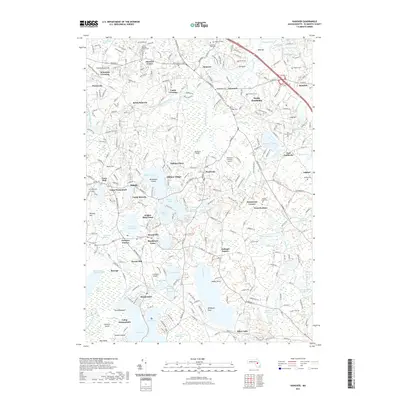
2021 Map of Hanover
USGS Topo · Published 2021About this map
Hanover and the surrounding villages of Pembroke and Hanson are defined by a complex network of wetlands and glacial water bodies. The Indian Head River flows through the northern reaches, while the southern portion of the landscape is dominated by the large expanses of Silver Lake, Oldham Pond, and Furnace Pond. These water features historically supported local industry and agriculture, evidenced by naming conventions like Wampatuck Bogs and Winebrook Bogs. The transport history of the area is visible through the Hanover Branch Rail-Trl, which traces the path of former rail connections that once linked these inland settlements.
Find a feature on this map
113 named features on this map. Tap any name to fly to it.
Don’t see what you’re looking for? This feature index may not catch every label — zoom into the map to look around manually.
Map Details
Editions of this 2021 Hanover Map
This is the sole edition of this map. No revisions or reprints were ever made.
Other maps of this area

1885 · Abington
USGS Topo · 1:62,500

1885 · Duxbury
USGS Topo · 1:62,500

1885 · Middleboro
USGS Topo · 1:62,500

1886 · Plymouth
USGS Topo · 1:62,500

1888 · Duxbury
USGS Topo · 1:62,500

1888 · Middleboro
USGS Topo · 1:62,500

1888 · Abington
USGS Topo · 1:62,500

1889 · Plymouth
USGS Topo · 1:62,500

1893 · Abington
USGS Topo · 1:62,500

1893 · Duxbury
USGS Topo · 1:62,500