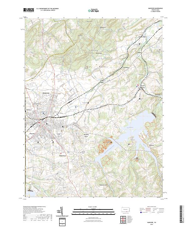
2023 Map of Hanover
USGS Topo · Published 2023About this map
The York Valley landscape is dominated by the sprawling waters of Lake Marburg and the urban density of Hanover. This modern survey reveals the intricate road network of the borough, from Baltimore St to the surrounding residential extensions of Pennville and Parkville. A high concentration of burial sites, including Mount Olivet Cem and the Manheim Union Burial Ground, points to a long-established community with deep genealogical roots.
Find a feature on this map
134 named features on this map. Tap any name to fly to it.
Don’t see what you’re looking for? This feature index may not catch every label — zoom into the map to look around manually.
Map Details
Editions of this 2023 Hanover Map
This is the sole edition of this map. No revisions or reprints were ever made.
Other maps of this area
1905 · Westminster
USGS Topo · 1:62,500
1908 · Gettysburg
USGS Topo · 1:62,500

1911 · Taneytown
USGS Topo · 1:62,500

1920 · Hanover
USGS Topo · 1:62,500

1922 · Hanover
USGS Topo · 1:62,500

1942 · Gettysburg
USGS Topo · 1:125,000
1944 · Manchester
USGS Topo · 1:31,680
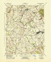
1944 · Mc Sherrystown
USGS Topo · 1:31,680
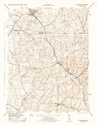
1944 · Littlestown
USGS Topo · 1:31,680
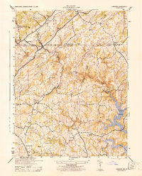
1944 · Lineboro
USGS Topo · 1:31,680