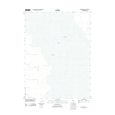
2012 Map of Hansen Island
USGS Topo · Published 2012About this map
Surprise Valley defines this portion of northeastern California, where the expansive bed of Middle Alkali Lake dominates the landscape. The geography is characterized by the fluctuating levels of this terminal lake system, with Hansen Island rising as a distinct landform within the lake bed. Local drainage is marked by seasonal watercourses like Cottonwood Cr and Bull Cr which flow toward the basin floor.
Find a feature on this map
10 named features on this map. Tap any name to fly to it.
Don’t see what you’re looking for? This feature index may not catch every label — zoom into the map to look around manually.
Map Details
Editions of this 2012 Hansen Island Map
This is the sole edition of this map. No revisions or reprints were ever made.
Other maps of this area

1886 · Alturas
USGS Topo · 1:250,000

1889 · Long Valley
USGS Topo · 1:250,000

1892 · Alturas
USGS Topo · 1:250,000

1954 · Vya
USGS Topo · 1:250,000

1954 · Alturas
USGS Topo · 1:250,000

1958 · Alturas
USGS Topo · 1:250,000

1958 · Vya
USGS Topo · 1:250,000

1962 · Alturas
USGS Topo · 1:250,000

1962 · Vya
USGS Topo · 1:250,000

1962 · Cedarville
USGS Topo · 1:62,500