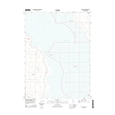
2015 Map of Hansen Island
USGS Topo · Published 2015About this map
Hansen Island and the expansive basin of Middle Alkali Lake dominate this portion of the Surprise Valley in Modoc County. The landscape is defined by the stark seasonal hydrology of the Great Basin, where water from Cottonwood Cr and Bull Cr drains toward the alkali flats. The mapping reflects a sparse, rural infrastructure typical of the high desert, with the land gridded by the Public Land Survey System into townships like t42n r17e and t41n r16e. Transportation is limited to essential county routes such as Co Road 30 and S Co Road 31A, which skirt the edges of the lake bed. This survey provides a precise look at the drainage patterns and desert land divisions in a remote corner of northeastern California, capturing the area before modern shifts in water management or climate could further alter the shoreline of the ephemeral lake.
Find a feature on this map
14 named features on this map. Tap any name to fly to it.
Don’t see what you’re looking for? This feature index may not catch every label — zoom into the map to look around manually.
Map Details
Editions of this 2015 Hansen Island Map
This is the sole edition of this map. No revisions or reprints were ever made.
Other maps of this area

1886 · Alturas
USGS Topo · 1:250,000

1889 · Long Valley
USGS Topo · 1:250,000

1892 · Alturas
USGS Topo · 1:250,000

1954 · Vya
USGS Topo · 1:250,000

1954 · Alturas
USGS Topo · 1:250,000

1958 · Alturas
USGS Topo · 1:250,000

1958 · Vya
USGS Topo · 1:250,000

1962 · Alturas
USGS Topo · 1:250,000

1962 · Vya
USGS Topo · 1:250,000

1962 · Cedarville
USGS Topo · 1:62,500