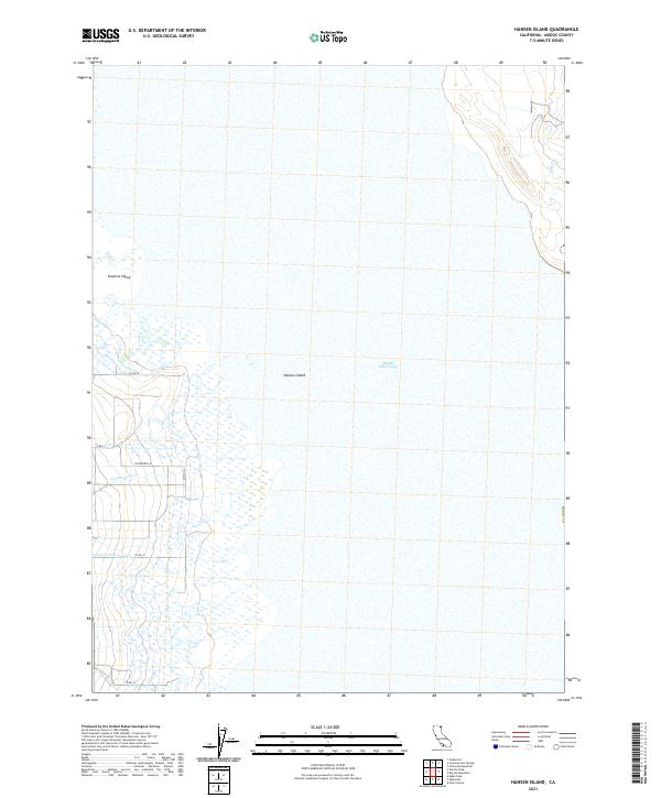
2021 Map of Hansen Island
USGS Topo · Published 2021About this map
Middle Alkali Lake dominates this portion of the Surprise Valley floor, where the seasonal waters of the high desert basin meet the land at Hansen Island. The landscape is defined by the hydrologic patterns of the Great Basin, with drainage features such as Cottonwood Cr, Little Cottonwood Cr, and Bull Cr leading toward the lake bed. A sparse network of local thoroughfares, including Patterson Ln and various county roads like Co RD 30 and Co RD 31, provide the primary access to the scattered landholdings in this Modoc County interior. This 2021 update maintains the public land survey system grid, showing the township and range divisions that have organized this remote northern California territory for over a century.
Find a feature on this map
17 named features on this map. Tap any name to fly to it.
Don’t see what you’re looking for? This feature index may not catch every label — zoom into the map to look around manually.
Map Details
Editions of this 2021 Hansen Island Map
This is the sole edition of this map. No revisions or reprints were ever made.
Other maps of this area

1886 · Alturas
USGS Topo · 1:250,000

1889 · Long Valley
USGS Topo · 1:250,000

1892 · Alturas
USGS Topo · 1:250,000

1954 · Vya
USGS Topo · 1:250,000

1954 · Alturas
USGS Topo · 1:250,000

1958 · Alturas
USGS Topo · 1:250,000

1958 · Vya
USGS Topo · 1:250,000

1962 · Alturas
USGS Topo · 1:250,000

1962 · Vya
USGS Topo · 1:250,000

1962 · Cedarville
USGS Topo · 1:62,500