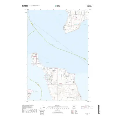
2020 Map of Hansville
USGS Topo · Published 2020About this map
Admiralty Inlet and Puget Sound define the maritime character of this region where the northern tip of the Great Peninsula reaches toward Whidbey Island. The community of Hansville sits at the heart of the Manette Penninsula, serving as a gateway to landmarks like Norwegian Point and the prominent Point No Point. The map details a landscape transition from the residential clusters around Buck Lake and Hansville Rd NE to the more isolated coastal features of Double Bluff and Foulweather Bluff.
Find a feature on this map
80 named features on this map. Tap any name to fly to it.
Don’t see what you’re looking for? This feature index may not catch every label — zoom into the map to look around manually.
Map Details
Editions of this 2020 Hansville Map
This is the sole edition of this map. No revisions or reprints were ever made.
Other maps of this area

1895 · Snohomish
USGS Topo · 1:125,000

1897 · Seattle
USGS Topo · 1:125,000

1911 · Mount Vernon
USGS Topo · 1:125,000

1937 · Port Gamble
USGS Topo · 1:62,500

1939 · Coupeville
USGS Topo · 1:62,500

1940 · Port Gamble
USGS Topo · 1:62,500

1942 · Edmonds
USGS Topo · 1:62,500

1943 · Stanwood
USGS Topo · 1:62,500

1953 · Hansville
USGS Topo · 1:24,000

1953 · Freeland
USGS Topo · 1:24,000