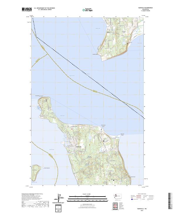
2023 Map of Hansville
USGS Topo · Published 2023About this map
The Great Peninsula meets the saltwater at the northernmost tip of the Kitsap Peninsula, where the community of Hansville sits between the Hood Canal and Admiralty Inlet. This coastal landscape is defined by its prominent landforms, including the sandy spit at Point No Point and the dramatic shoreline of Double Bluff on southern Whidbey Island. The map illustrates a contemporary pattern of residential development around inland water bodies like Buck Lake and Oliver Lake, connected by a network of local roads such as Hansville Rd NE.
Find a feature on this map
75 named features on this map. Tap any name to fly to it.
Don’t see what you’re looking for? This feature index may not catch every label — zoom into the map to look around manually.
Map Details
Editions of this 2023 Hansville Map
This is the sole edition of this map. No revisions or reprints were ever made.
Other maps of this area

1895 · Snohomish
USGS Topo · 1:125,000

1897 · Seattle
USGS Topo · 1:125,000

1911 · Mount Vernon
USGS Topo · 1:125,000

1937 · Port Gamble
USGS Topo · 1:62,500

1939 · Coupeville
USGS Topo · 1:62,500

1940 · Port Gamble
USGS Topo · 1:62,500

1942 · Edmonds
USGS Topo · 1:62,500

1943 · Stanwood
USGS Topo · 1:62,500

1953 · Hansville
USGS Topo · 1:24,000

1953 · Freeland
USGS Topo · 1:24,000