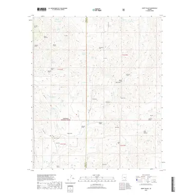
2018 Map of Happy Valley
USGS Topo · Published 2018About this map
Happy Valley sits at the heart of this high-desert landscape, bounded by the Rincon Mountains to the west and the Little Rincon Mountains to the east. This section of the Coronado National Forest is defined by a dense network of water sources vital to the region, from the Upper West Fork Spring in the north to Buckhorn Spring and the Grapevine Spring in the south. The terrain is dramatically carved by deep drainages such as Sycamore Canyon and Gardner Canyon, meeting at the narrow passage of Hells Gate. Settlement and activity are concentrated near the valley floor at Miller Flat and the secluded Secret Pasture, connected by the primary thoroughfare of N Happy Valley Rd. Historical peaks including Lechuguilla Peak and Driscoll Mtn provide prominent landmarks across the Pima and Cochise County line.
Find a feature on this map
66 named features on this map. Tap any name to fly to it.
Don’t see what you’re looking for? This feature index may not catch every label — zoom into the map to look around manually.
Map Details
Editions of this 2018 Happy Valley Map
This is the sole edition of this map. No revisions or reprints were ever made.
Other maps of this area

1904 · Tucson
USGS Topo · 1:125,000

1905 · Tucson
USGS Topo · 1:125,000

1945 · Redington
USGS Topo · 1:62,500

1945 · Happy Valley
USGS Topo · 1:62,500

1956 · Tucson
USGS Topo · 1:250,000

1957 · Bellota Ranch
USGS Topo · 1:62,500

1957 · Rincon Valley
USGS Topo · 1:62,500

1957 · Redington
USGS Topo · 1:62,500

1958 · Tucson
USGS Topo · 1:250,000

1958 · Happy Valley
USGS Topo · 1:62,500