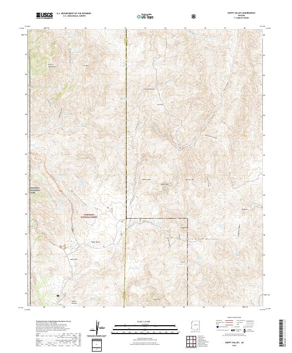
2021 Map of Happy Valley
USGS Topo · Published 2021About this map
Happy Valley sits at the foot of the Little Rincon Mountains and the Rincon Mountains, a landscape defined by sharp elevation shifts and numerous drainage systems. This 2021 survey illustrates the transitional geography between the high peaks and lower basins like Miller Flat and Iron Flat. The area is characterized by its vital water sources, including Mesquite Canyon Spring, Juanita Spring, and Dripping Spring, which have long supported cattle ranching and travel through this arid environment.
Find a feature on this map
68 named features on this map. Tap any name to fly to it.
Don’t see what you’re looking for? This feature index may not catch every label — zoom into the map to look around manually.
Map Details
Editions of this 2021 Happy Valley Map
This is the sole edition of this map. No revisions or reprints were ever made.
Other maps of this area

1904 · Tucson
USGS Topo · 1:125,000

1905 · Tucson
USGS Topo · 1:125,000

1945 · Redington
USGS Topo · 1:62,500

1945 · Happy Valley
USGS Topo · 1:62,500

1956 · Tucson
USGS Topo · 1:250,000

1957 · Bellota Ranch
USGS Topo · 1:62,500

1957 · Rincon Valley
USGS Topo · 1:62,500

1957 · Redington
USGS Topo · 1:62,500

1958 · Tucson
USGS Topo · 1:250,000

1958 · Happy Valley
USGS Topo · 1:62,500