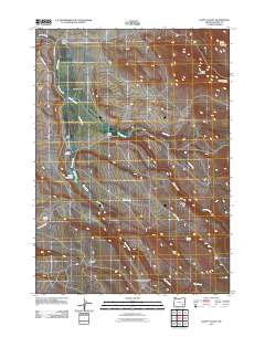
2011 Map of Happy Valley
USGS Topo · Published 2011About this map
Smyth Ranch and Riddle Ranch anchor this high-desert landscape of Harney County, illustrating the enduring legacy of open-range ranching in Eastern Oregon. The terrain is defined by dramatic elevations and water management, with Smyth Creek feeding into the Smyth Reservoir to sustain local livestock operations. Genealogists will find interest in the Smyth Cemetery, while the naming of The Lambing Ground provides a clear window into the agricultural utility of the land.
Find a feature on this map
24 named features on this map. Tap any name to fly to it.
Don’t see what you’re looking for? This feature index may not catch every label — zoom into the map to look around manually.
Map Details
Editions of this 2011 Happy Valley Map
This is the sole edition of this map. No revisions or reprints were ever made.
Other maps of this area

1955 · Burns
USGS Topo · 1:250,000

1955 · Adel
USGS Topo · 1:250,000

1957 · Adel
USGS Topo · 1:250,000

1958 · Burns
USGS Topo · 1:250,000

1958 · Adel
USGS Topo · 1:250,000

1959 · Burns
USGS Topo · 1:250,000

1962 · Adel
USGS Topo · 1:250,000

1967 · Happy Valley
USGS Topo · 1:24,000

1967 · Barton Lake
USGS Topo · 1:24,000

1967 · Diamond
USGS Topo · 1:24,000