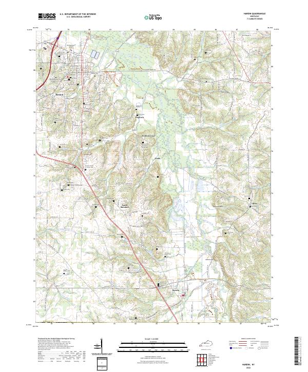
2022 Map of Hardin
USGS Topo · Published 2022About this map
Benton and Hardin anchor this portrait of Marshall County, where the landscape is defined by the winding course of the Clarks River and a dense network of family cemeteries. The terrain transitions from the residential streets of Benton near the Marshall County Judicial Building to the more varied topography of Sinkhole Hill and Nimmo Hill further south. This survey reveals a community deeply rooted in its local geography, where small settlements like Dogtown, Walnut Grove, and Glade are connected by narrow roads like Wadesboro Rd S and the Murray Hwy. The proliferation of family-named burial grounds, such as the Bennie Starks Cem, Darnell Cem, and Jackson-Starks Cem, suggests a long history of family homesteads scattered across the river bottoms and uplands. The presence of features like Beaverdam Slough and Peggy-Ann Spring highlights the area's complex hydrology, influencing where people built churches such as the Hardin Baptist Cem and established rural schools.
Find a feature on this map
113 named features on this map. Tap any name to fly to it.
Don’t see what you’re looking for? This feature index may not catch every label — zoom into the map to look around manually.
Map Details
Editions of this 2022 Hardin Map
This is the sole edition of this map. No revisions or reprints were ever made.
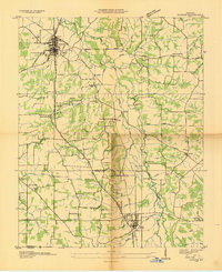
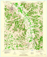
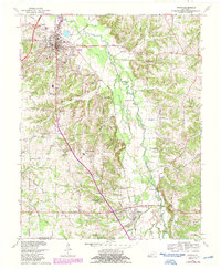
Historical Maps of Olive Through Time
4 maps found