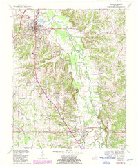
1969 Map of Hardin
USGS Topo · Published 1987About this map
Benton and its surrounding Marshall County landscape appear here during a period of transition, where small agricultural hamlets meet modern infrastructure developments like Interchange 43. The terrain is defined by the winding course of the Clarks River and its numerous tributaries such as Elizabeth Branch and Vanny Creek. Local social life and genealogy are anchored by several country institutions, including Church Grove Ch, Union Hall Ch, and South Marshall Sch.
Find a feature on this map
57 named features on this map. Tap any name to fly to it.
Don’t see what you’re looking for? This feature index may not catch every label — zoom into the map to look around manually.
Map Details
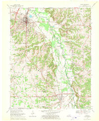
Editions of this 1969 Hardin Map
2 editions found
Other maps of this area

1936 · Oak Level
USGS Topo · 1:24,000

1936 · Elva
USGS Topo · 1:24,000

1936 · Hardin
USGS Topo · 1:24,000

1936 · Hiatt
USGS Topo · 1:24,000

1936 · Benton
USGS Topo · 1:48,000

1936 · Birmingham
USGS Topo · 1:24,000

1936 · Golden Pond
USGS Topo · 1:48,000

1936 · Dexter
USGS Topo · 1:24,000

1936 · Hico
USGS Topo · 1:24,000

1936 · Kirksey
USGS Topo · 1:24,000