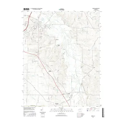
1969 Map of Hardin
USGS Topo · Published 1970About this map
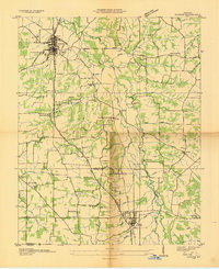
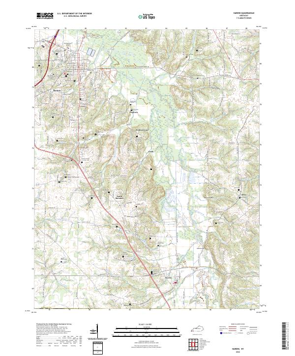
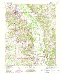
The Clarks River and its meandering Beaverdam Slough dominate the eastern landscape of Marshall County in the late 1960s, creating a corridor of wetlands and fords between Benton and Hardin. The Louisville and Nashville railroad runs parallel to the river valley, anchoring the region's transport network alongside the Parkway. Significant for genealogists, the map identifies several rural landmarks like Church Grove Ch, Union Hill Cem, and New Zion Ch, which served dispersed communities such as Dogtown and Elizabeth. The topography is marked by distinctive rises like Sinkhole Hill and Nimmo Hill, contrasting with the low-lying basin of Mucka Creek and Ellison Creek. Industrial and utility footprints are noted through several Gravel Pits, a Claypit, and the local Sewage Disposal Ponds near the northern edge of Benton.
Find a feature on this map
66 named features on this map. Tap any name to fly to it.
Don’t see what you’re looking for? This feature index may not catch every label — zoom into the map to look around manually.
Map Details
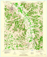
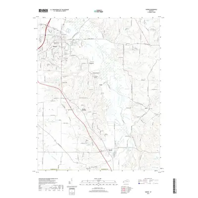
Editions of this 1969 Hardin Map
2 editions found
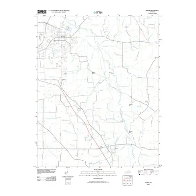
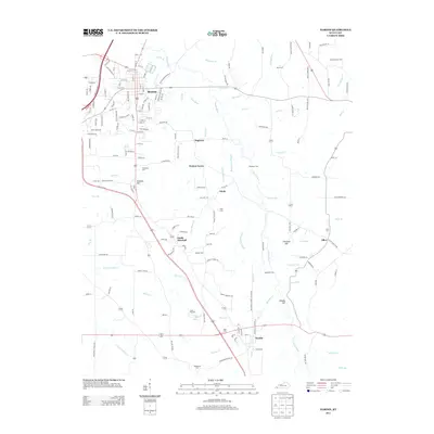
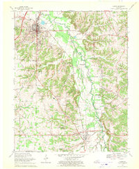
Historical Maps of Benton Through Time
8 maps found