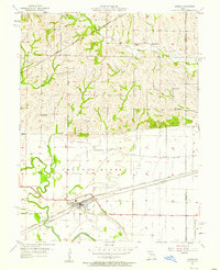
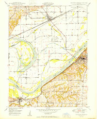
1957 Map of Hardin
USGS Topo · Published 1958About this map
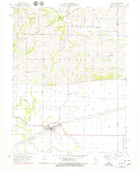
The town of Hardin serves as the focal point of this 1950s survey, situated where the Atchison Topeka and Santa Fe and Wabash railroads parallel the northern bank of the Crooked River. This river corridor is defined by complex hydraulic engineering, featuring a system of levees, a spoil bank, and a significant drainage ditch designed to manage the fertile bottomlands. To the north, the terrain transitions into the upland Grape Grove Prairie, where the Chicago Burlington and Quincy railroad cuts through the landscape near Wakenda Creek. Rural life is centered around local institutions such as Central School and several country churches, including Liberty Church and Mt Pleasant Church. The map also captures several family-named landmarks like Lavelock Cemetery and Clarks Cemetery, providing essential geographic context for the era's agricultural and social patterns.
Find a feature on this map
22 named features on this map. Tap any name to fly to it.
Don’t see what you’re looking for? This feature index may not catch every label — zoom into the map to look around manually.
Map Details
Editions of this 1957 Hardin Map
2 editions found
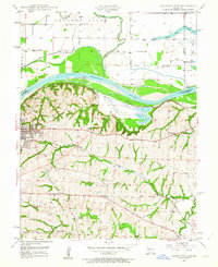
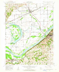
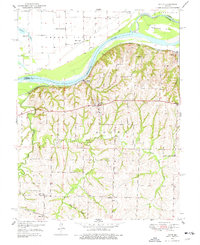
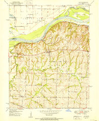
Other maps of this area

1889 · Lexington
USGS Topo · 1:125,000
1949 · Lexington East
USGS Topo · 1:24,000
1949 · Lexington West
USGS Topo · 1:24,000

1950 · Lexington East
USGS Topo · 1:24,000
1950 · Lexington West
USGS Topo · 1:24,000
1950 · Dover
USGS Topo · 1:24,000
1951 · Dover
USGS Topo · 1:24,000

1953 · Moberly
USGS Topo · 1:250,000

1954 · Moberly
USGS Topo · 1:250,000

1957 · Moberly
USGS Topo · 1:250,000