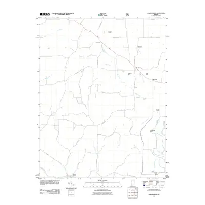
2011 Map of Hardinsburg
USGS Topo · Published 2011About this map
Hardinsburg and the rural communities of Rego and Fayetteville anchor this southern Indiana landscape during the early 21st century. The map reveals a complex karst topography, where the surface water of Honey Creek and Sinking Creek interacts with geological features like Scotland Cave Sink, Posey Sink, and Honey Sink. These sinkholes are characteristic of the region's limestone bedrock, which shapes the drainage patterns before reaching the Patoka River in the northwest.
Find a feature on this map
73 named features on this map. Tap any name to fly to it.
Don’t see what you’re looking for? This feature index may not catch every label — zoom into the map to look around manually.
Map Details
Editions of this 2011 Hardinsburg Map
This is the sole edition of this map. No revisions or reprints were ever made.
Other maps of this area

1946 · Depauw
USGS Topo · 1:24,000

1947 · Hardinsburg
USGS Topo · 1:24,000

1948 · Milltown
USGS Topo · 1:24,000

1949 · Hardinsburg
USGS Topo · 1:24,000

1950 · Becks Mill
USGS Topo · 1:24,000

1950 · Valeene
USGS Topo · 1:24,000

1950 · English
USGS Topo · 1:24,000

1953 · Fredericksburg
USGS Topo · 1:24,000

1956 · Vincennes
USGS Topo · 1:250,000

1957 · Vincennes
USGS Topo · 1:250,000