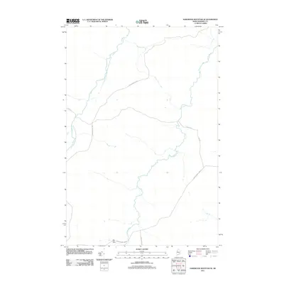
2011 Map of Hardwood Mountain SE
USGS Topo · Published 2011About this map
Little Southwest Branch Saint John River defines the western edge of this Somerset County landscape, which reflects the deep roots of the Maine timber industry in the early 21st century. The terrain is crisscrossed by a network of private and logging roads, such as Carter Nine Mile Rd and International Paper Rd, indicating active forest management and transportation. A rare point of named infrastructure is found at Billy-Jack Depot near the southern boundary, a site likely tied to regional industrial operations. Much of the topography follows the winding path of Brailey Brook, which snakes through the center of the quadrangle. These features together show a sparsely populated but commercially significant working forest at the edge of the international border.
Find a feature on this map
8 named features on this map. Tap any name to fly to it.
Don’t see what you’re looking for? This feature index may not catch every label — zoom into the map to look around manually.
Map Details
Editions of this 2011 Hardwood Mountain SE Map
This is the sole edition of this map. No revisions or reprints were ever made.
Other maps of this area

1954 · Baker Lake
USGS Topo · 1:62,500

1954 · St. John Pond
USGS Topo · 1:62,500

1954 · Presque Isle
USGS Topo · 1:250,000

1957 · Norris Brook
USGS Topo · 1:62,500

1957 · Hardwood Mountain
USGS Topo · 1:62,500

1958 · Presque Isle
USGS Topo · 1:250,000

1958 · Saint John Pond
USGS Topo · 1:62,500

1960 · Presque Isle
USGS Topo · 1:250,000

1962 · Baker Lake
USGS Topo · 1:62,500

1962 · Quebec
USGS Topo · 1:250,000