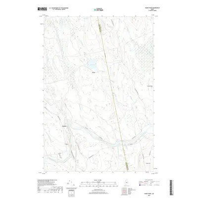
2018 Map of Hardy Pond
USGS Topo · Published 2018About this map
The Piscataquis River cuts through this rural landscape on the border of Penobscot and Piscataquis counties, defining the region's historical transit and settlement patterns. Near the bend in the river lies the town of Medford, where researchers can find the Schoodic Cem and the remnants of former industrial corridors. The transition from rail-based transport to modern roads is evident in the presence of an Abandoned Railroad Grade and the nearby Railroad Bed Rd, which once connected these riverside communities to larger markets.
Find a feature on this map
37 named features on this map. Tap any name to fly to it.
Don’t see what you’re looking for? This feature index may not catch every label — zoom into the map to look around manually.
Map Details
Editions of this 2018 Hardy Pond Map
This is the sole edition of this map. No revisions or reprints were ever made.
Other maps of this area

1917 · Passadumkeag
USGS Topo · 1:62,500

1933 · Boyd Lake
USGS Topo · 1:62,500

1942 · Lincoln
USGS Topo · 1:62,500

1947 · Schoodic
USGS Topo · 1:62,500

1949 · Schoodic
USGS Topo · 1:62,500

1951 · Boyd Lake
USGS Topo · 1:50,000

1954 · Millinocket
USGS Topo · 1:250,000

1955 · Boyd Lake
USGS Topo · 1:62,500

1957 · Lincoln
USGS Topo · 1:62,500

1958 · Millinocket
USGS Topo · 1:250,000