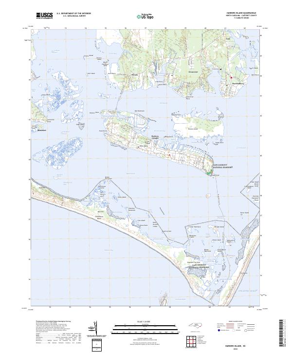
2022 Map of Harkers Island
USGS Topo · Published 2022About this map
The maritime communities of Carteret County are captured here in the early 2020s, showing the complex interface of land and sea along the North Carolina coast. The map focuses on the historic fishing and boat-building villages of Gloucester, Marshallberg, and Straits, where family-named landmarks like Gaskill Point and Black Hammock Point define the shorelines. On Harkers Island, the local infrastructure follows Harkers Island Rd toward the terminal at Shell Point, a jumping-off spot for the Cape Lookout National Seashore. Across the Back Sound, the uninhabited Shackleford Banks remain a preserved barrier, characterized by the Diamond City Hills and the narrow waters of Barden Inlet. This survey provides a precise modern look at the shifting sandbars and marshes of Core Sound, documenting the geography of an area defined by its proximity to the Atlantic Ocean.
Find a feature on this map
143 named features on this map. Tap any name to fly to it.
Don’t see what you’re looking for? This feature index may not catch every label — zoom into the map to look around manually.
Map Details
Editions of this 2022 Harkers Island Map
This is the sole edition of this map. No revisions or reprints were ever made.
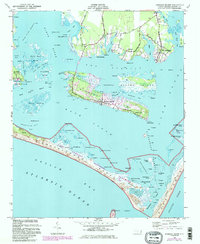
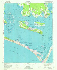
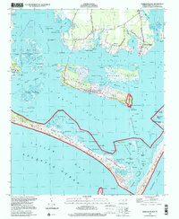
Historical Maps of Straits Through Time
4 maps found