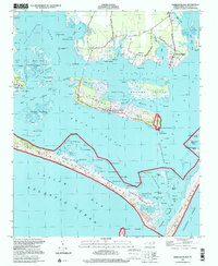
1997 Map of Harkers Island
USGS Topo · Published 2001About this map
Harkers Island and the surrounding coastal waters of Carteret County are depicted in this 1997 topographic study, showing a landscape defined by sound-side settlements and maritime navigation. The residential heart of the island is clearly mapped alongside mainland communities like Gloucester and Marshallberg, while the shifting sands of the Shackleford Banks form a protective barrier against the Atlantic Ocean. Small local burial sites marked Cem and historical ruins near Willow Pond suggest the long human tenure on these low-lying islands.
Find a feature on this map
103 named features on this map. Tap any name to fly to it.
Don’t see what you’re looking for? This feature index may not catch every label — zoom into the map to look around manually.
Map Details
Editions of this 1997 Harkers Island Map
This is the sole edition of this map. No revisions or reprints were ever made.
Other maps of this area

1949 · Beaufort
USGS Topo · 1:24,000

1949 · Williston
USGS Topo · 1:24,000

1949 · Harkers Island
USGS Topo · 1:24,000

1949 · Davis
USGS Topo · 1:24,000

1949 · Core Creek
USGS Topo · 1:24,000

1950 · Horsepen Point
USGS Topo · 1:24,000

1951 · Williston
USGS Topo · 1:24,000
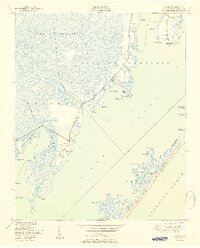
1951 · Davis
USGS Topo · 1:24,000

1951 · Core Creek
USGS Topo · 1:24,000
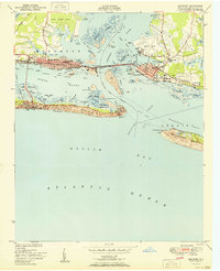
1951 · Beaufort
USGS Topo · 1:24,000