
1949 Map of Harkers Island
USGS Topo · Published 1984About this map
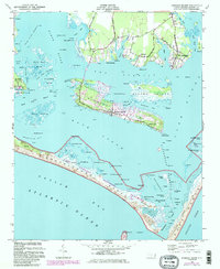
Harkers Island and the surrounding coastal marshlands are depicted here as they appeared mid-century, before significant modern development altered these barrier island communities. The map highlights the traditional maritime settlements of Straits, Gloucester, and Marshallberg, connected by the Harkers Island Road and Gloucester Road. The southern extent of the map is dominated by the narrow, sweeping reach of Shackleford Banks, separated from the mainland by the waters of Back Sound.
Find a feature on this map
100 named features on this map. Tap any name to fly to it.
Don’t see what you’re looking for? This feature index may not catch every label — zoom into the map to look around manually.
Map Details
Editions of this 1949 Harkers Island Map
2 editions found
Other maps of this area

1949 · Beaufort
USGS Topo · 1:24,000

1949 · Williston
USGS Topo · 1:24,000

1949 · Davis
USGS Topo · 1:24,000

1949 · Core Creek
USGS Topo · 1:24,000

1950 · Horsepen Point
USGS Topo · 1:24,000

1951 · Williston
USGS Topo · 1:24,000
1951 · Davis
USGS Topo · 1:24,000

1951 · Core Creek
USGS Topo · 1:24,000
1951 · Beaufort
USGS Topo · 1:24,000
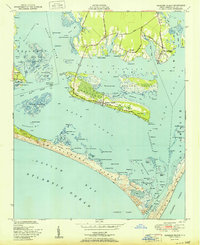
1951 · Harkers Island
USGS Topo · 1:24,000