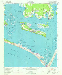
1951 Map of Harkers Island
USGS Topo · Published 1973About this map
Harkers Island dominates this coastal survey, linked to the mainland by the Harkers Island Road as it crosses The Straits. The maritime character of the region is evident in the dense network of small harbors and landings such as Gaskill Landing and the settlements of Gloucester and Marshallberg. Along the southern edge, the barrier island of Shackleford Banks separates Back Sound from the Atlantic, featuring landmarks like the Diamond City Hills and the winding Whale Cr.
Find a feature on this map
94 named features on this map. Tap any name to fly to it.
Don’t see what you’re looking for? This feature index may not catch every label — zoom into the map to look around manually.
Map Details
Editions of this 1951 Harkers Island Map
2 editions found
Other maps of this area

1949 · Beaufort
USGS Topo · 1:24,000

1949 · Williston
USGS Topo · 1:24,000

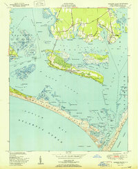
1949 · Harkers Island
USGS Topo · 1:24,000

1949 · Davis
USGS Topo · 1:24,000

1949 · Core Creek
USGS Topo · 1:24,000

1950 · Horsepen Point
USGS Topo · 1:24,000

1951 · Williston
USGS Topo · 1:24,000
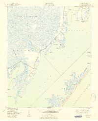
1951 · Davis
USGS Topo · 1:24,000

1951 · Core Creek
USGS Topo · 1:24,000
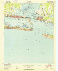
1951 · Beaufort
USGS Topo · 1:24,000