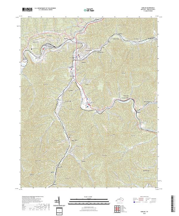
2022 Map of Harlan
USGS Topo · Published 2022About this map
The Cumberland River and Martins Fork carve through the deep valleys of the Cumberland Plateau, defining the dense network of coal-country settlements in Harlan County. The city of Harlan serves as a central hub, flanked by communities like Loyall, Baxter, and Sunshine that follow the winding riverbanks and narrow hollows. The topography is dominated by significant elevations such as Pine Mountain to the north and Black Mountain and Little Black Mountain to the east, creating a landscape where development is tightly constrained to the valley floors.
Find a feature on this map
135 named features on this map. Tap any name to fly to it.
Don’t see what you’re looking for? This feature index may not catch every label — zoom into the map to look around manually.
Map Details
Editions of this 2022 Harlan Map
This is the sole edition of this map. No revisions or reprints were ever made.
Other maps of this area

1887 · Jonesville
USGS Topo · 1:125,000

1891 · Jonesville
USGS Topo · 1:125,000

1903 · Harlan
USGS Topo · 1:48,000

1916 · Harlan
USGS Topo · 1:48,000

1916 · Nolansburg
USGS Topo · 1:48,000

1919 · Nolansburg
USGS Topo · 1:62,500

1919 · Harlan
USGS Topo · 1:62,500

1932 · Hagan
USGS Topo · 1:62,500
1935 · Ewing
USGS Topo · 1:24,000

1935 · Hubbard Springs
USGS Topo · 1:24,000