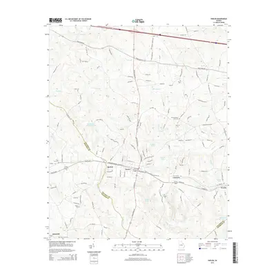
2014 Map of Harlem
USGS Topo · Published 2014About this map
The town of Harlem serves as the central hub of this Georgia landscape, situated at the junction of Appling Harlem Rd and several historic corridors including W Milledgville Rd. This 2014 survey reveals a transition from the structured residential blocks of the town center to a rural periphery defined by small family settlements and numerous burial grounds. Genealogists will find a high concentration of local cemeteries, such as the Walker Cem, Bynum Cem, and Adams Chapel Cem, scattered among the drainages of Kiokee Cr and Boggy Gut Cr.
Find a feature on this map
139 named features on this map. Tap any name to fly to it.
Don’t see what you’re looking for? This feature index may not catch every label — zoom into the map to look around manually.
Map Details
Editions of this 2014 Harlem Map
This is the sole edition of this map. No revisions or reprints were ever made.
Other maps of this area

1892 · Mc Cormick
USGS Topo · 1:125,000

1912 · Mc Cormick
USGS Topo · 1:125,000

1920 · Clarks Hill
USGS Topo · 1:48,000

1921 · Clarks Hill
USGS Topo · 1:62,500

1921 · Appling
USGS Topo · 1:62,500

1922 · Harlem
USGS Topo · 1:62,500

1922 · Hephzibah
USGS Topo · 1:62,500

1941 · Clarks Hill
USGS Topo · 1:62,500

1942 · Clarks Hill
USGS Topo · 1:62,500

1943 · Appling
USGS Topo · 1:62,500