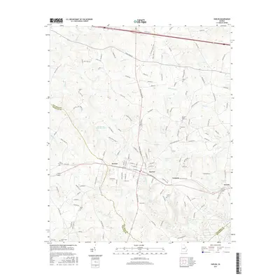
2017 Map of Harlem
USGS Topo · Published 2017About this map
Harlem serves as the focal point of this eastern Georgia landscape, where the convergence of the county lines for Columbia, McDuffie, and Richmond counties shapes the local geography. The area is characterized by a dense network of family and community cemeteries, including Old Union Baptist Church Cem, Sturgis Cem, and Piney Grove Cem, which provide significant touchpoints for genealogical research.
Find a feature on this map
147 named features on this map. Tap any name to fly to it.
Don’t see what you’re looking for? This feature index may not catch every label — zoom into the map to look around manually.
Map Details
Editions of this 2017 Harlem Map
This is the sole edition of this map. No revisions or reprints were ever made.
Other maps of this area

1892 · Mc Cormick
USGS Topo · 1:125,000

1912 · Mc Cormick
USGS Topo · 1:125,000

1920 · Clarks Hill
USGS Topo · 1:48,000

1921 · Clarks Hill
USGS Topo · 1:62,500

1921 · Appling
USGS Topo · 1:62,500

1922 · Harlem
USGS Topo · 1:62,500

1922 · Hephzibah
USGS Topo · 1:62,500

1941 · Clarks Hill
USGS Topo · 1:62,500

1942 · Clarks Hill
USGS Topo · 1:62,500

1943 · Appling
USGS Topo · 1:62,500