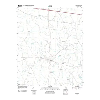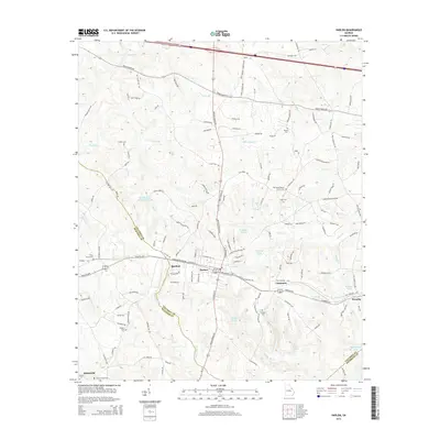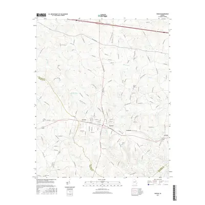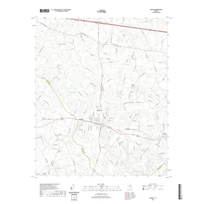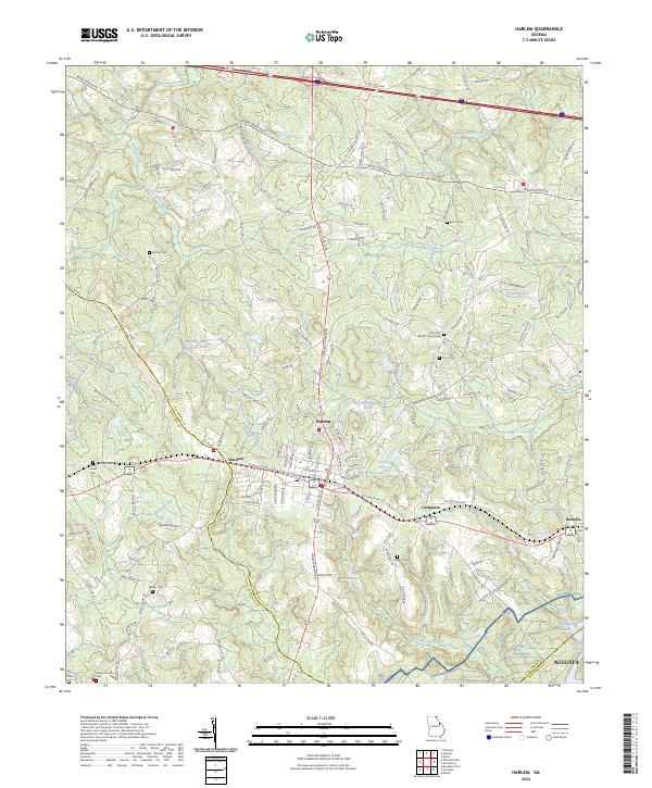
2024 Map of Harlem
USGS Topo · Published 2024About this map
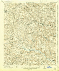
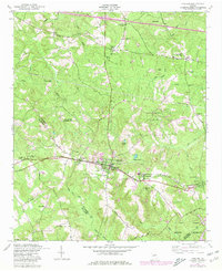
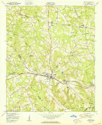
Harlem serves as the central hub of this East Georgia landscape, where the convergence of rail and road corridors has historically shaped local settlement. The map traces a string of communities including Sawdust, Campania, and Berzelia, following the established transportation lines that cut across Columbia and McDuffie County borders. For genealogists, the map is particularly detailed, identifying numerous family-named landmarks and resting places such as the Old Union Baptist Church Cemetery, Adams Chapel Cemetery, and Walker Cemetery.
Find a feature on this map
155 named features on this map. Tap any name to fly to it.
Don’t see what you’re looking for? This feature index may not catch every label — zoom into the map to look around manually.
Map Details
Editions of this 2024 Harlem Map
This is the sole edition of this map. No revisions or reprints were ever made.
Historical Maps of Augusta Through Time
9 maps found